Everything You Need,
All in One Place.
Explore the powerful modules that make Oxland the complete land management solution.
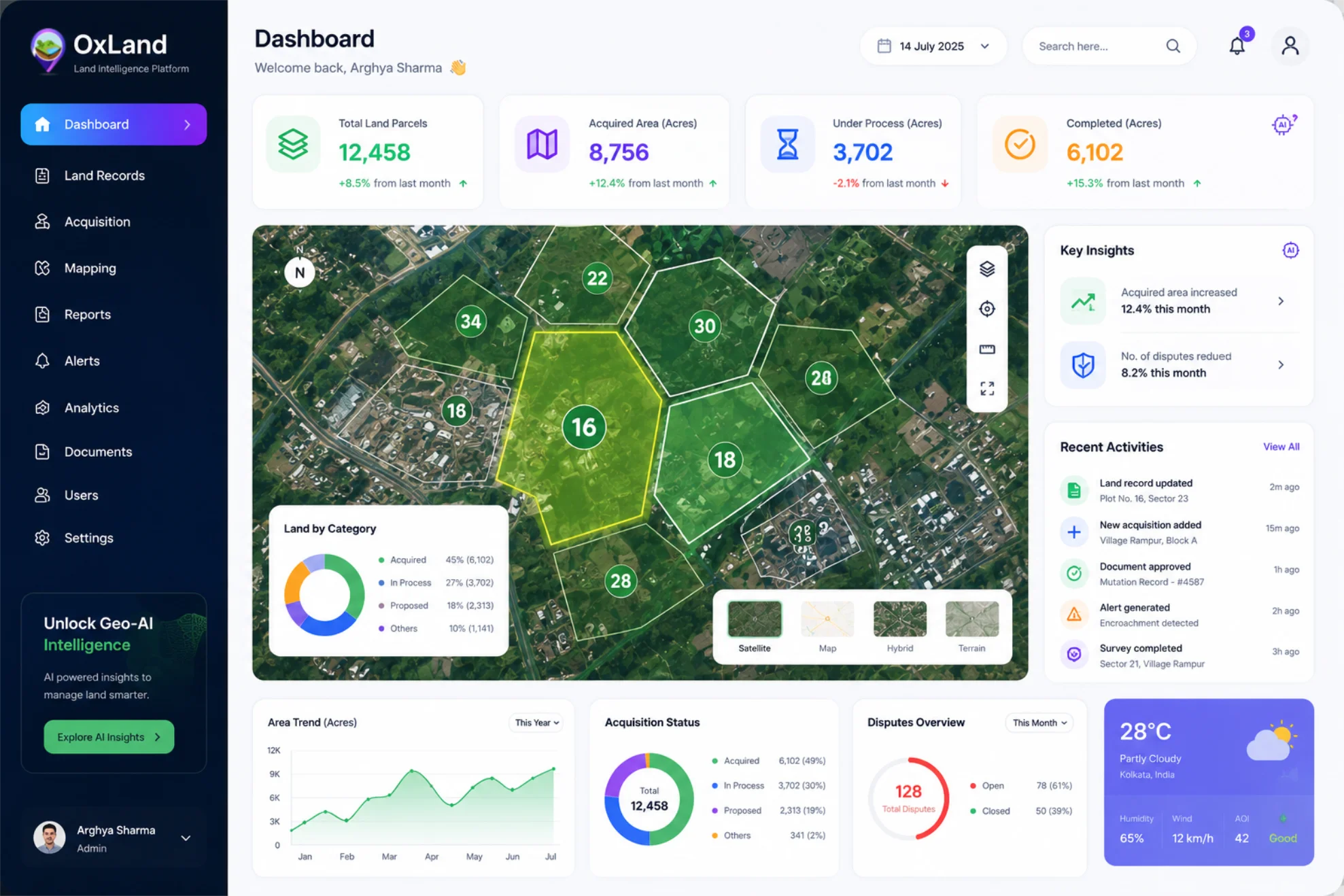
Auto-cycling every 5s ·
Visualize every parcel with interactive GIS.
Cadastre-first mapping that snaps polygons to district boundaries and surfaces every parcel, owner, and encumbrance in one click. Built for the way Indian revenue departments actually work.
- Interactive GIS maps with cadastral boundaries
- Satellite, drone & survey layer integration
- Smart plot search and filtering
- Multi-layer map visualization
- Area & distance measurement tools
- Plot status and ownership visualization
- High-resolution map exports
- Real-time location insights
Faster Land Acquisition
Accelerate acquisition through GIS-driven workflows.
Reduced Manual Documentation
Digitize records and automate document management.
Land Lifecycle Management
One platform for acquisition, records, litigation and R&R.
Decision Intelligence
Transform land and spatial data into actionable insights.
Features & platform questions.
Everything teams ask in evaluation calls — answered upfront so you can move faster.
Couldn't find your answer?
Our land-ops team replies within one working day.
OxLand is a Geo-AI powered Land Management Platform that helps organizations manage land acquisition, land records, GIS mapping, litigation, document management, land bank monitoring, Rehabilitation & Resettlement (R&R), and executive reporting from a single platform. It is designed for organizations that own, acquire, develop, or manage land assets across renewable energy, mining, manufacturing, infrastructure, industrial parks, logistics, ports, railways, government agencies, and other land-intensive industries.
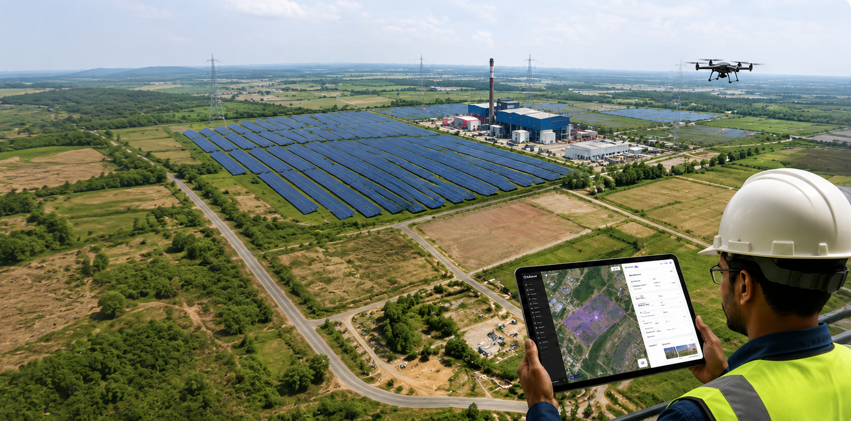
See Oxland run on your project.
Bring a real parcel set, a real case file, a real corridor map — we'll load it into a sandbox and walk you through every pillar with your data. 45 minutes. No slides.