
Notes from the frontier of Indian land ops.
Case studies from real acquisitions, teardowns of the tools we build, and honest dispatches from the people building Oxland — a piece a fortnight, no filler.
Latest posts
13 posts

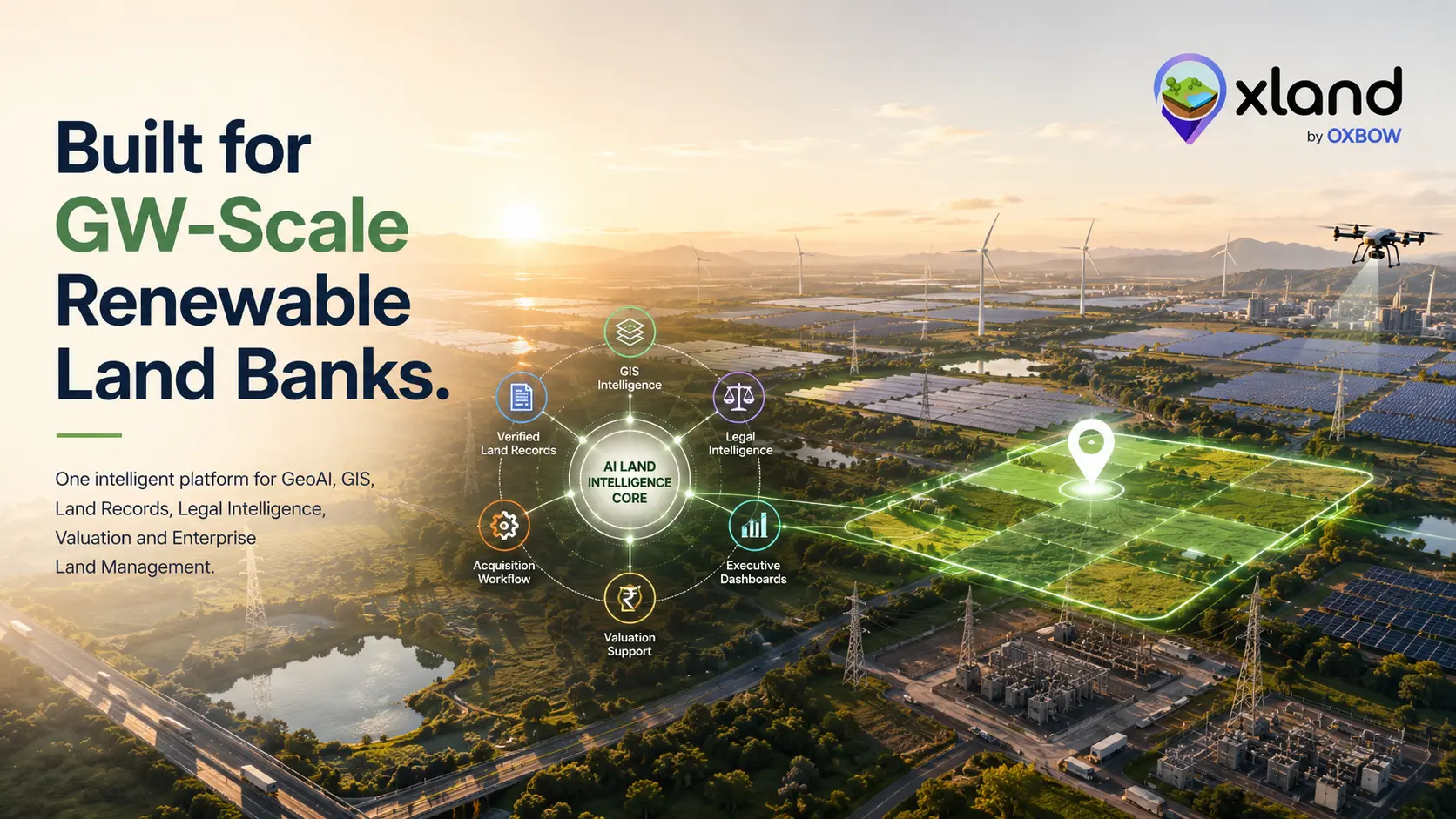
How GIS and Drone Technology Boost Profit Across the Solar Project Lifecycle
Solar projects keep getting bigger — and harder. GIS site analysis and drone surveys help teams pick better sites, design for maximum yield, cut construction cost and keep every panel producing across the whole lifecycle.
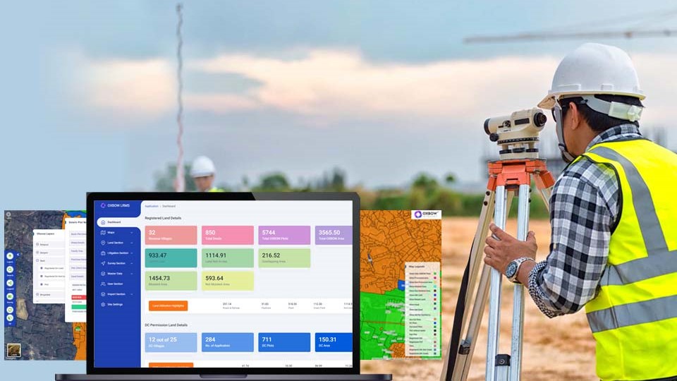
How Advanced Technologies are Transforming Field Surveys
Manual field surveys are slow, costly and error-prone. Drones, AI, GIS, IoT sensors, mobile apps and even blockchain are making data collection faster, more accurate and far more efficient.
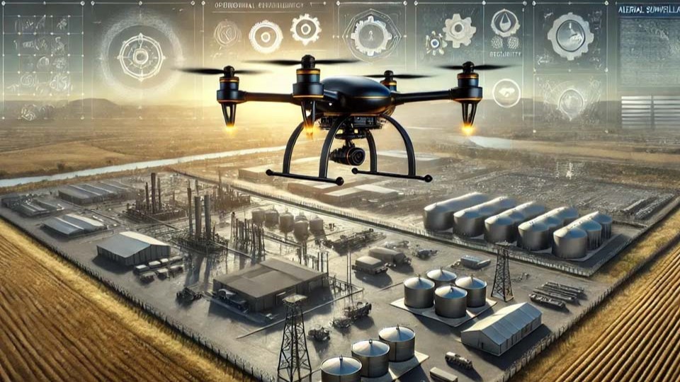
How Drones are Revolutionising Inspections and Monitoring in Industrial Plants
Traditional plant inspections mean shutdowns, scaffolding and people in harm's way. Industrial drones deliver zero-downtime, safer, earlier fault detection across steel, power and mining — and it's only accelerating.
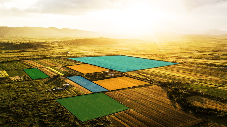
OxLand — A Complete Land Management System for Industries
For any industry, land is one of the most valuable assets — yet it's often managed with scattered records, slow surveys and unclear ownership. OxLand brings the entire land lifecycle into one digital platform: faster, more transparent and far easier to handle.
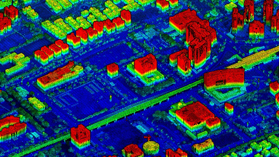
Transforming Industries with Geospatial Digital Twins
A geospatial digital twin is far more than a fancy 3D map. By fusing real-time sensor data, location intelligence and prediction, it becomes a live decision engine for mining, utilities, agriculture, manufacturing and public-sector planning.
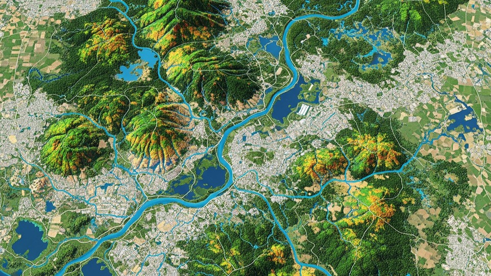
GIS-Based Watershed Monitoring: A Game-Changer for Industries
Watershed conditions directly shape industrial operations — especially where water use, discharge and compliance are involved. GIS-based monitoring replaces fragmented, reactive methods with a comprehensive, real-time view of environmental risk.
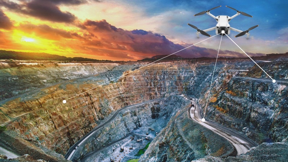
The Role of UAVs in Modern Mining Operations
Open-cast mining moves earth by the hour — pits widen, benches rise, the ground never stops changing. Drones fly fast, see more and keep people safe across mapping, monitoring, blasting, inspection and compliance.
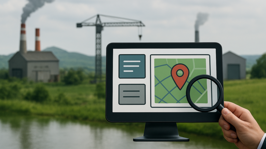
Why Industries Need a Land Acquisition Monitoring System
Every factory, mine and warehouse starts with land — yet acquiring and managing it is often the hardest part of a project. A monitoring system isn't about fancy technology; it's about reducing uncertainty across ownership, approvals, disputes and compliance.
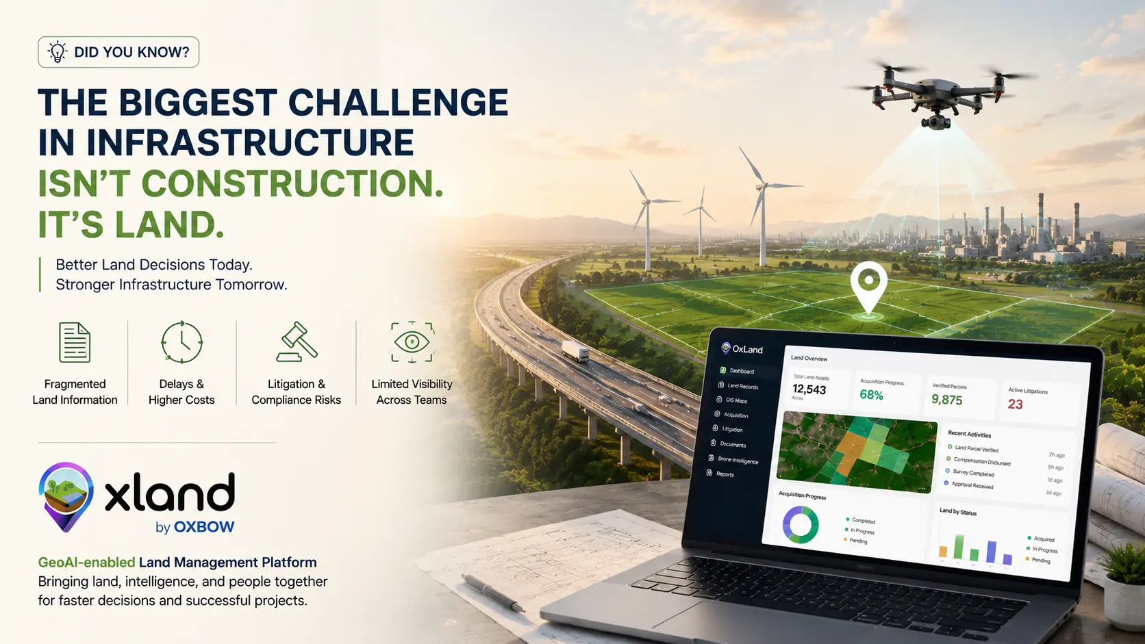
The Biggest Challenge in Infrastructure Isn't Construction. It's Land.
Engineering, financing and execution get the spotlight — but land acquisition and fragmented land information quietly drive most infrastructure delays in India. The real fix isn't acquiring land faster; it's managing land information better.
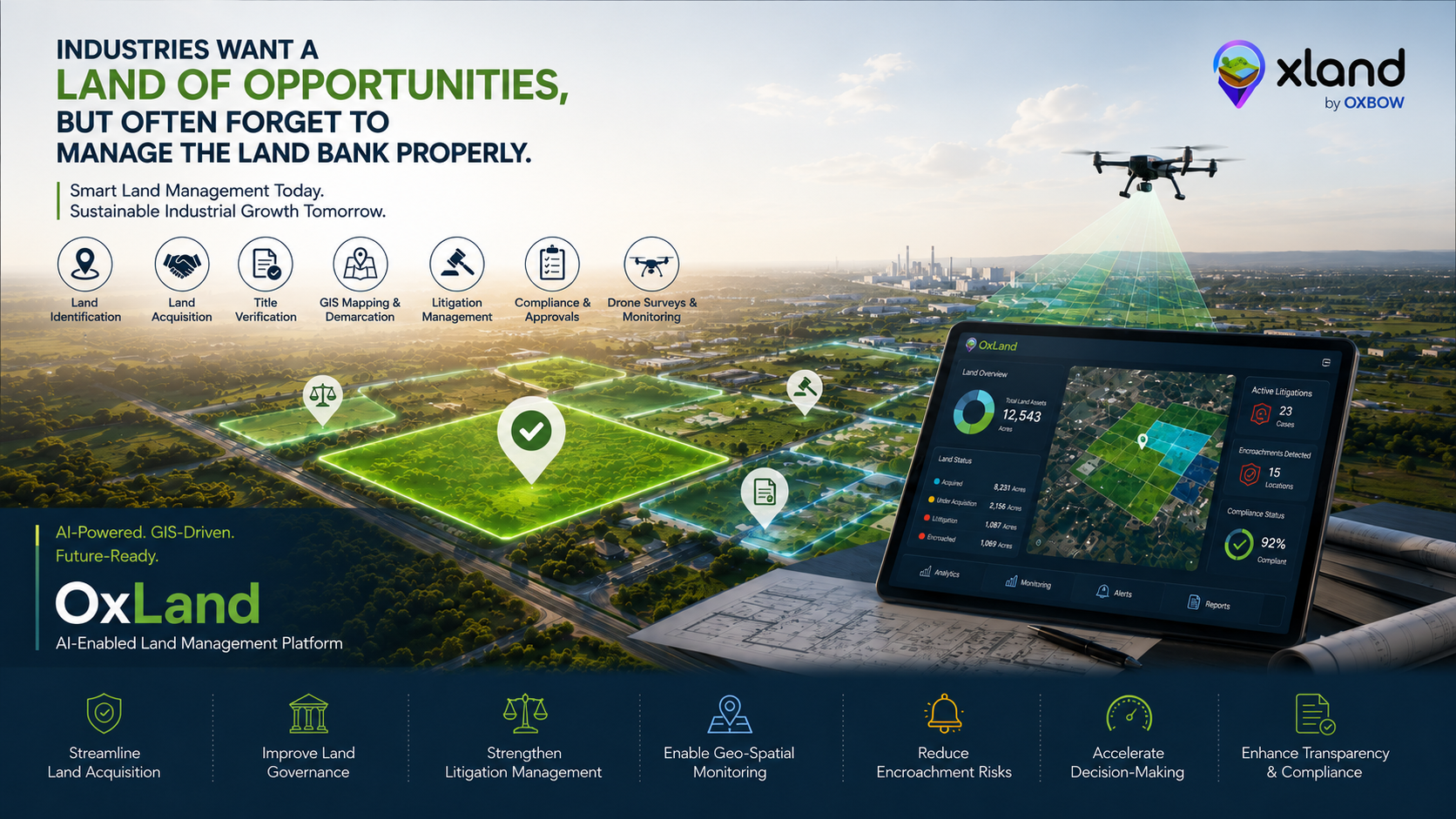
Industries Want a "Land of Opportunities," But Often Forget to Manage the Land Bank Properly
Investment summits, industrial corridors and manufacturing hubs are booming — but many projects still stumble because their land bank is managed on spreadsheets and paper maps. Here's what needs to change.
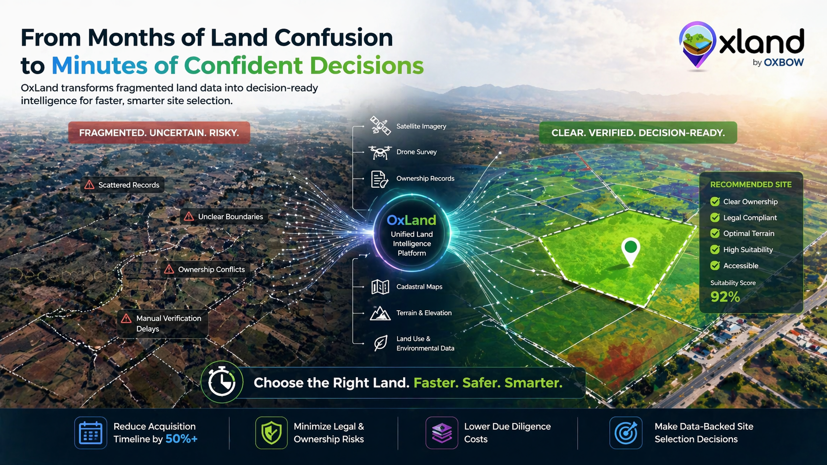
Why Land Acquisition in India is Complex — And How OxLand Simplifies It
India's land data is scattered across formats, languages, and authorities. Here's why that fragmentation costs infrastructure projects months of delay — and how a unified platform fixes it.
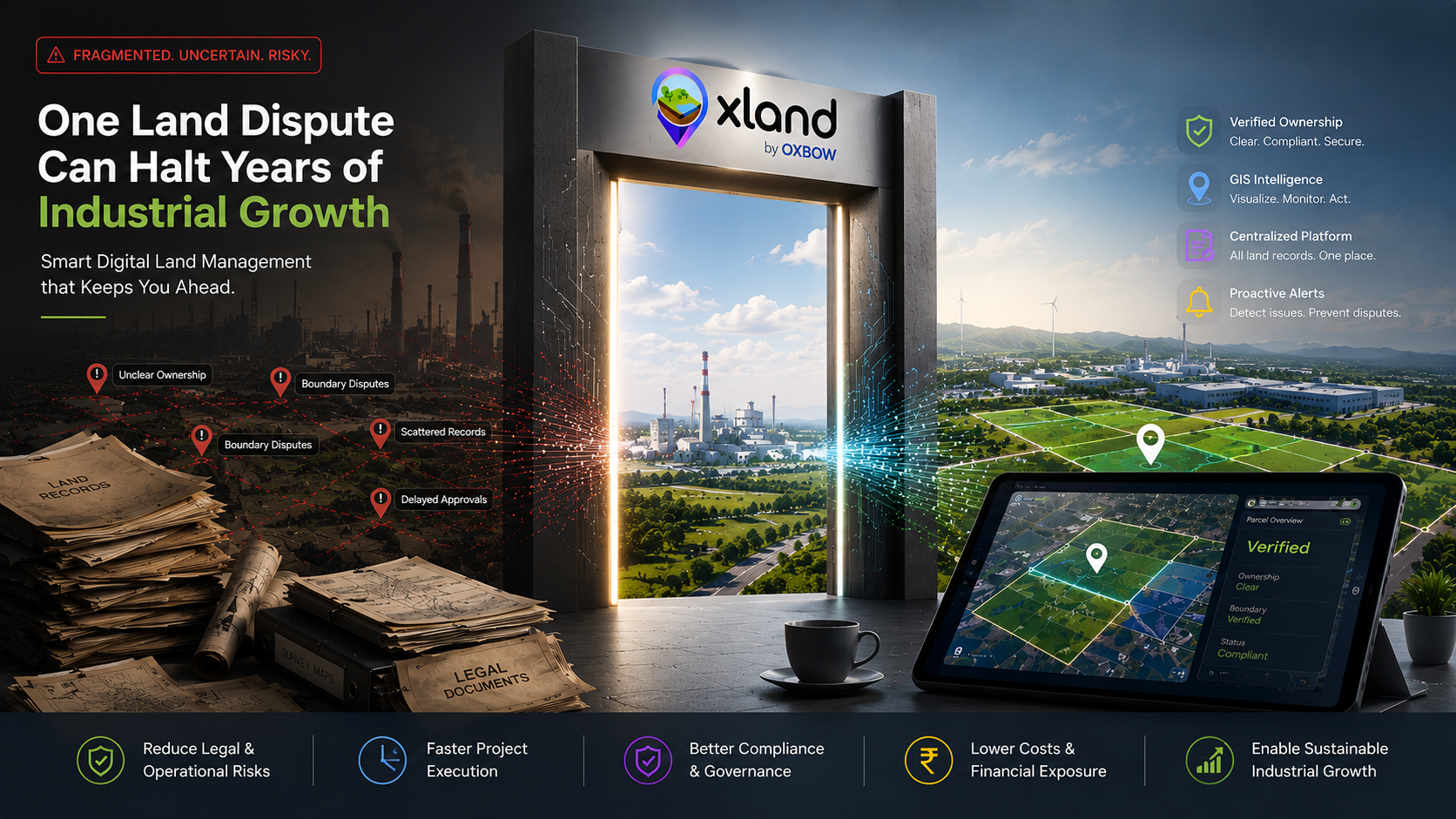
One Land Dispute Can Halt Years of Industrial Growth
A missing document, an outdated survey map, an encroachment — a single unresolved land issue can freeze projects worth crores. Why proactive, GIS-enabled Land Management is a business necessity.
A well-crafted piece, every other Thursday.
No churn tactics, no cross-promo. Just long-form pieces from the team building Oxland.