Every major infrastructure project starts with a vision — a new highway, a renewable energy park, a manufacturing facility, a mine, or an industrial corridor. But long before construction begins, many projects run into the same wall: land acquisition.
While engineering, financing and execution usually get the spotlight, land acquisition — and the fragmented land information behind it — quietly remains one of the biggest reasons infrastructure projects slip in India. Publicly available government reports tell the story in numbers:
Source: publicly available government reports on infrastructure project status.
These numbers point to something deeper than a paperwork backlog. The issue isn't simply acquiring land — it's managing land information efficiently.
The hidden challenge
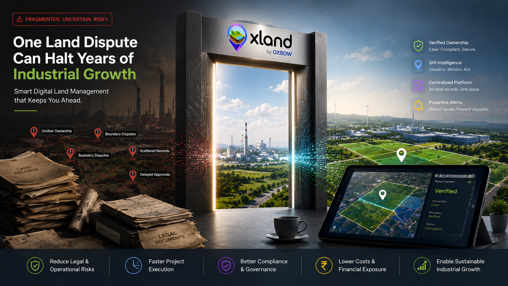
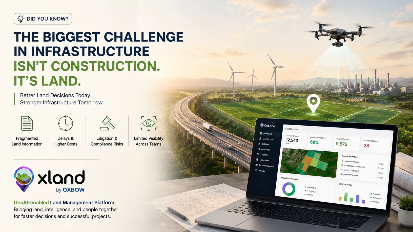
In many organizations, land-related information is scattered across multiple departments and systems. Land records sit in one repository. GIS maps live in another. Legal documents, compensation records, litigation details and field survey reports exist in separate files, spreadsheets and PDFs.
As projects expand across thousands of acres and many stakeholders, getting a single, reliable view of land assets becomes increasingly difficult. The consequences are familiar:
- Delayed project execution
- Increased litigation risk
- Higher acquisition and compliance costs
- Slower decision-making
- Limited visibility across teams
When critical land information is disconnected, even routine decisions take longer than they should — and every quarter of delay is a quarter of loaded interest, escalation clauses and stalled downstream execution.
A smarter way forward
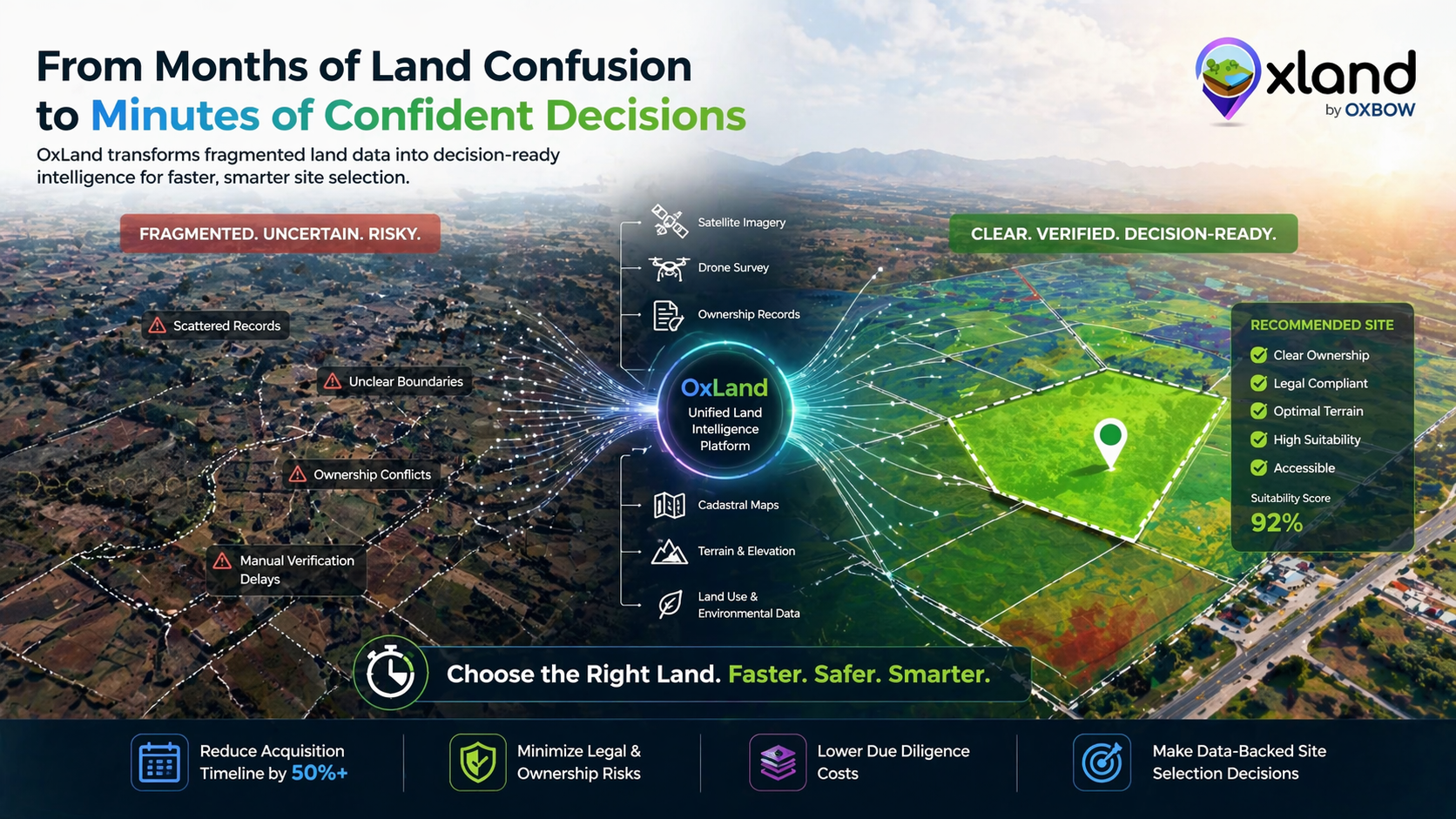
As infrastructure projects grow in scale and complexity, organizations need more than digitized records — they need connected land intelligence. That means bringing every land signal onto one platform, where each layer reinforces the others:
By integrating land records, GIS, cadastral maps, legal documentation, acquisition progress, drone imagery, field verification and executive dashboards into a single platform, project teams can make faster, better-informed decisions. It improves collaboration across departments and reduces risk throughout the entire land acquisition lifecycle.
Building the future of land management
At Oxbow Intellect, we believe infrastructure development should not be slowed by fragmented land information. That's why we built OxLand — a GeoAI-enabled Land Management Platform that brings land acquisition, land records, GIS, litigation, document management, drone intelligence and executive dashboards together in one integrated ecosystem.
The goal is simple: help enterprises manage land smarter, reduce risk, and accelerate infrastructure development.
The future of infrastructure isn't just about building faster. It's about making better land decisions before the first brick is laid.
What are the biggest land acquisition challenges your organization faces today?
We'd love to hear your perspective. Send us the project and we'll show you what OxLand surfaces about it in under 45 minutes — parcels, encumbrances, litigation risk, terrain, everything.
Book a walkthrough on your project