Infrastructure projects like roads, highways, railways, pipelines, and transmission corridors all begin with one critical foundation — Land Acquisition and Right of Way (ROW). But in reality, this is also the stage where most challenges begin.
Delays, disputes, and unexpected cost escalations often trace back to gaps in early-stage planning. At the same time, land and area change detection through drones is becoming increasingly important — and in many cases, a necessity. Ground realities can change rapidly due to encroachments, land-use changes, or boundary alterations, and without timely visibility, these can turn into major risks.
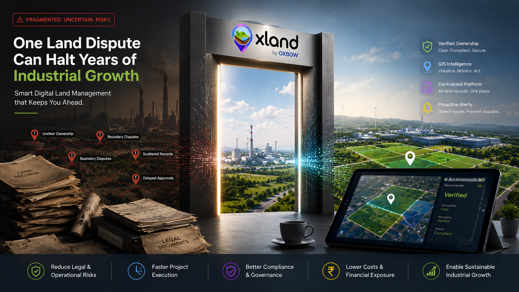
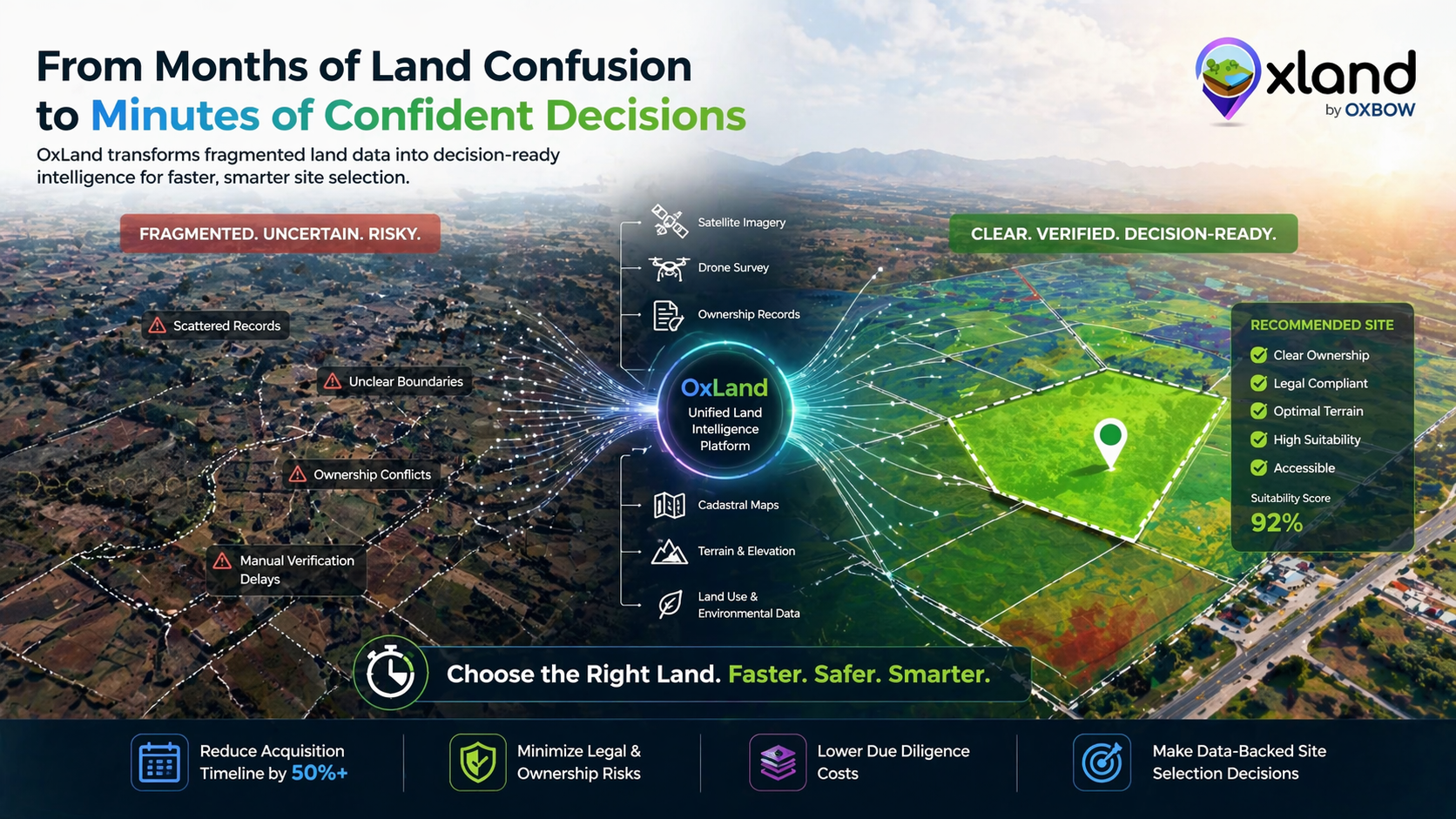
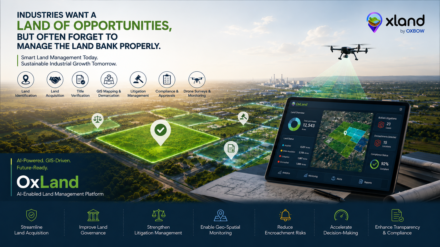
Now imagine if you could identify risks early, track progress in real time, and make informed decisions from day one. That's exactly what OxLand — a GeoAI-enabled Land Management System by Oxbow Intellect is built for.
Why early-stage planning matters in land acquisition
Starting land acquisition without structured data and proper monitoring is like moving forward without clear visibility. Linear projects span across large geographies — covering multiple villages, stakeholders, and regulatory layers. Each parcel comes with its own complexity.
Even a small oversight at this stage can lead to:
- Legal disputes
- Delays in compensation
- Resistance from local communities
- Project timeline overruns
The smarter approach is simple: bring clarity, structure, and continuous visibility into the process from the very beginning.
Key pillars of successful Land Acquisition & ROW
A robust ROW acquisition programme is really nine disciplines running in parallel. Here's how OxLand handles each:
Proper Land Due Diligence
Key focus areas
- Ownership details
- Title clarity
- Encumbrances
- Historical transactions
Outcome: OxLand brings multiple data sources together to ensure reliable land acquisition.
Smart Plot Navigation
Key focus areas
- Outdated maps
- Boundary mismatches
- Field-level confusion
Outcome: GIS and drone mapping enable accurate plot identification even where legacy records fail.
Understanding Land Condition
Key focus areas
- Terrain
- Land use
- Accessibility
- Environmental sensitivity
Outcome: OxLand helps evaluate land suitability before acquisition — not after.
Seamless Access to Land Records
Key focus areas
- Aggregating RoR (Record of Rights)
- Linking cadastral maps
- Digitizing land information
Outcome: All data is unified into one platform, searchable by parcel, owner or khasra.
Identifying Land Disputes
Key focus areas
- Ownership conflicts
- Boundary disputes
- Community issues
Outcome: Avoid high-risk parcels proactively instead of discovering issues mid-execution.
Tracking Court Cases
Key focus areas
- Map land parcels with litigation
- Track case status
- Make informed decisions
Outcome: Litigation moves from a folder of PDFs to a first-class object linked to every affected parcel.
Managing Project Affected Families (PAF)
Key focus areas
- Smooth compensation processes
- Reduced resistance
- Better stakeholder management
Outcome: R&R tracked family by family — housing, livelihood, compensation, and follow-through.
Social Impact Assessment (SIA)
Key focus areas
- Data collection
- Impact mapping
- Reporting
Outcome: Structured SIA workflows built directly into the platform, ready for ministry audit.
Environmental Impact Assessment (EIA)
Key focus areas
- Environmental layers
- Risk indicators
- Compliance tracking
Outcome: EIA compliance without spreadsheets — everything anchored to the parcel geometry.
Land acquisition doesn't stop at planning — it evolves continuously.
Continuous monitoring: the real game-changer
Ground truth changes. New encroachments appear. Boundary lines shift. A parcel that looked clear at diligence can become disputed by the time the disbursement is due. With real-time monitoring, teams can:
- Track acquisition progress
- Identify bottlenecks early
- Optimize resource deployment
- Prevent cost escalations
OxLand provides a complete view of the acquisition lifecycle — not just a checkpoint at kickoff, but a live picture through every phase of the corridor.
Save millions. Accelerate development. Reduce risk.
The compounding impact of a well-run ROW programme:
- Projects move faster
- Costs are controlled
- Risks are minimized
For a 200-km corridor, the difference between a well-run ROW programme and a poorly-run one can be measured in quarters of financing cost — not months.
Try OxLand today
Start smart. Stay ahead. Deliver faster. Try OxLand today and redefine how land acquisition is done — not as a spreadsheet exercise, but as a live, GeoAI-driven operating system for the entire corridor.
Planning a linear project right now?
Send us the corridor alignment — we'll run a demo on your actual GIS layer and show you what OxLand surfaces before you break ground.