Land acquisition in India has always been a challenging, time-consuming, and often unpredictable process. Despite ongoing digitization efforts, one fundamental issue continues to persist — fragmented land records and region-specific complexity in understanding land data.
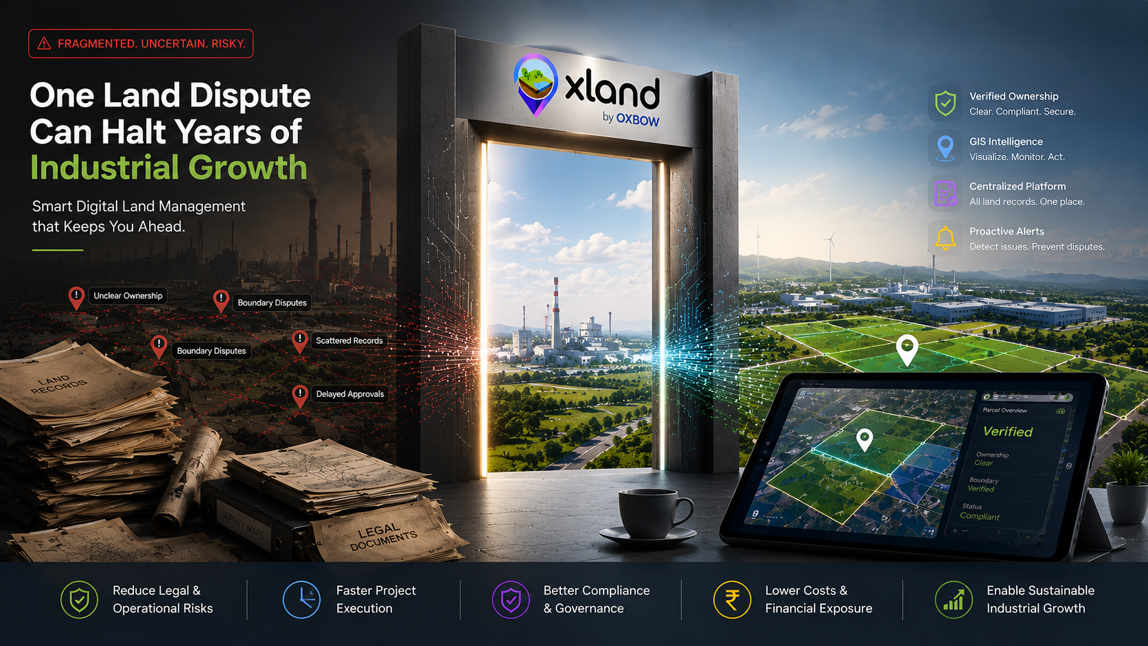
For industries, infrastructure developers, and government agencies, this fragmentation leads to delays, risks, and significant financial implications. A three-month acquisition timeline becomes a nine-month one. A "clear title" parcel becomes a legal case. And the CAPEX assumptions the project was built on start to slip.
The core problem: fragmented land records
India's land data ecosystem is not unified. It's scattered across multiple systems, formats, and authorities:
- Cadastral maps stored separately from textual records
- Ownership details maintained at local tehsil or district levels
- Variations in land record formats across states
- Inconsistent digitization quality across regions
The result: no single source provides a complete and reliable picture of land ownership, usage, and legal status.
Regional complexity adds another layer
Each state in India follows its own land governance framework:
- Terminologies differ across states (Khata, Patta, Jamabandi, RoR, etc.)
- Record access ranges from digital portals to manual registers
- Language and legacy documentation create interpretation challenges
Even experienced professionals often struggle to decode and validate land information across regions. A team that ships fast in Karnataka can find itself frozen for months in Uttar Pradesh — same platform, entirely different data reality.
Impact on land acquisition projects
These challenges directly affect execution:
- Delays in land due diligence
- Increased legal risks due to unclear ownership
- Difficulty in identifying contiguous land parcels
- Limited transparency in decision-making
For large-scale projects, this often translates into months — or even years — of delay. And every quarter of delay is a quarter of loaded interest, escalation clauses, and stalled downstream execution.
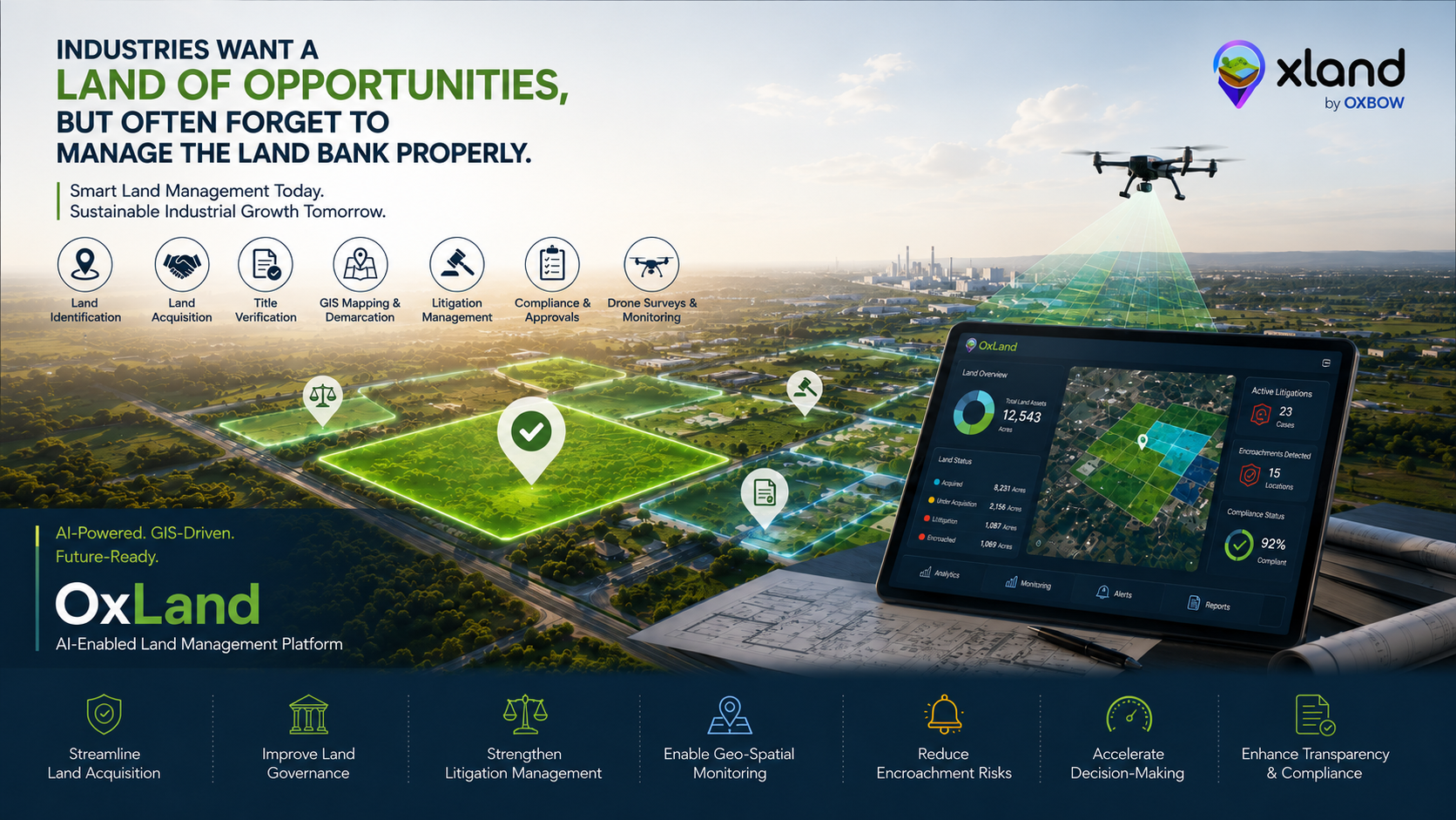
OxLand is not just digitizing land records — it is making land data understandable, actionable, and decision-ready.
How OxLand solves this problem
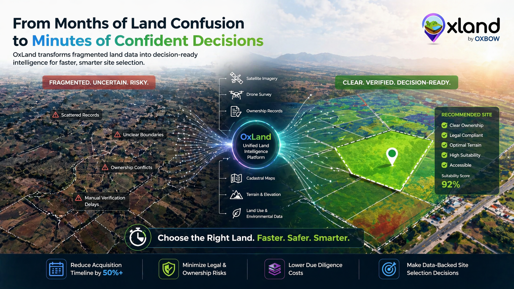
OxLand by Oxbow Intellect is designed to address these exact challenges by transforming fragmented data into structured, usable insights. Four capabilities do most of the heavy lifting:
Unified Land Data Platform
Cadastral maps, ownership records, satellite and drone imagery, GIS layers — a 360° view of every parcel, all in one place.
Simplified Understanding Across Regions
Interpret land documents across states, compare land parcels across geographies, and reduce dependency on local intermediaries.
GIS & Geo-AI Driven Insights
Identify suitable land parcels, analyze terrain and land use, and make faster, data-backed decisions.
Faster Due Diligence & Reduced Risk
Reduce manual verification effort, improve ownership clarity, and accelerate acquisition timelines from months to weeks.
The future of land acquisition is intelligent
As India continues to grow, the need for transparent, efficient, and data-driven land acquisition is becoming critical. Every corridor, every industrial park, every solar farm depends on the same first mile: a clear, contiguous, defensible land parcel set. Getting that first mile right — quickly — is the difference between projects that ship on time and projects that don't.
Conclusion
Land acquisition in India doesn't have to be slow, opaque, and risky. With OxLand, organizations can move from fragmentation to clarity, from manual processes to intelligent systems, and from delays to decisive execution.
Running an acquisition in multiple states right now?
Send us the corridor. We'll show you what OxLand surfaces about it in under 45 minutes — parcels, encumbrances, litigation risk, terrain, everything.
Book a walkthrough on your project