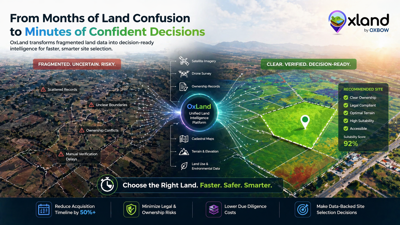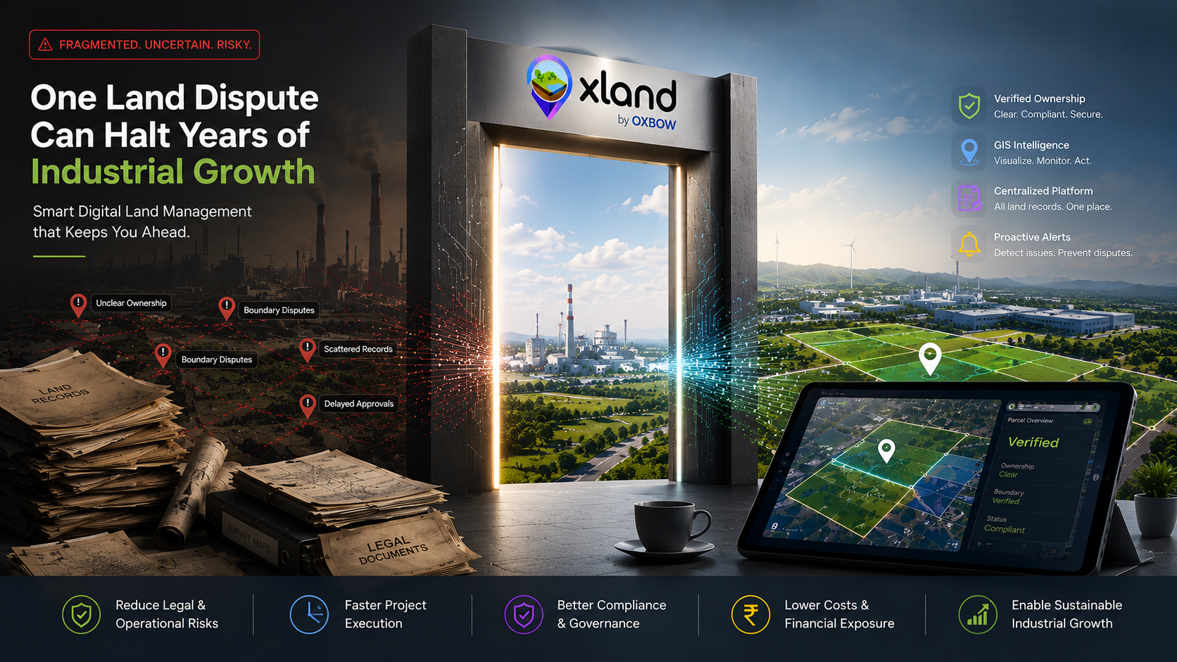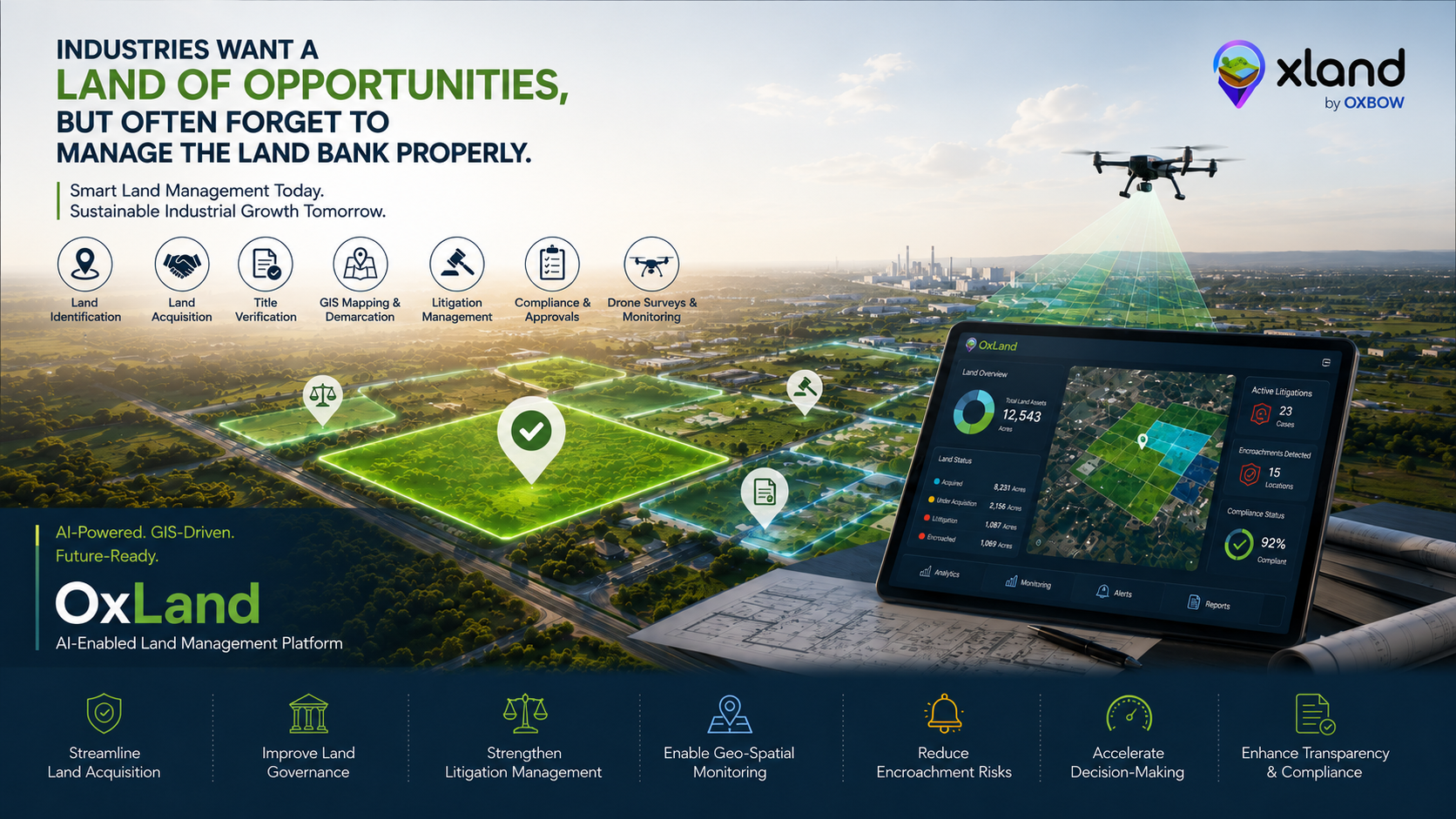
Across India, states are aggressively competing to attract industries, manufacturing hubs, logistics parks, renewable energy projects, mining operations, and large-scale infrastructure investments. Investment summits, industrial policies, and economic corridors are positioning multiple regions as the next major "Land of Opportunities."
For industries, land is the first and most critical requirement for expansion. But while organizations focus on investments, infrastructure, and project execution, one major challenge is often underestimated — efficient Land Acquisition and Land Management. Without a structured system for managing land banks, even the most promising industrial projects can face delays, disputes, compliance risks, and operational inefficiencies.
Today, industries do not just need land. They need Land Intelligence.
The real challenge behind industrial expansion
Large industrial and infrastructure projects involve multiple stages of land handling. Every one of these stages generates data, decisions and documents that must stay connected:
- Land Identification
- Land Acquisition
- Title Verification
- Boundary Demarcation
- Compensation Tracking
- Litigation Management
- Land Record Digitization
- GIS Mapping
- Encroachment Monitoring
- Compliance & Approval Tracking
- Asset & Infrastructure Monitoring
Yet in many organizations, these processes are still handled manually through spreadsheets, paper maps, scattered documentation, and disconnected departmental systems. That fragmentation creates a compounding set of challenges:
- Delays in Land Acquisition
- Incomplete or outdated land records
- Legal disputes and ownership conflicts
- Lack of visibility over acquired land parcels
- Difficulty in tracking compensation and approvals
- Poor monitoring of land utilization
- Increased litigation risks
- Encroachment-related issues
- Slow decision-making for future expansion
As industrial projects scale, the complexity of managing thousands of acres of land increases significantly. A land bank without intelligent monitoring eventually becomes difficult to control, optimize, and protect.
Why industries need smart Land Management
Modern industries require more than traditional land administration systems — they need an integrated ecosystem capable of handling the complete land lifecycle, from acquisition to long-term governance. This is where AI, GIS, drone technology, and geo-spatial intelligence are transforming the future of Land Management.
Streamline Land Acquisition
One pipeline from identification through disbursement.
Improve Land Governance
Every parcel versioned, every action auditable.
Strengthen Litigation Management
Cases indexed by parcel, hearings never slip.
Enable Geo-Spatial Monitoring
Live GIS layers stitched into every workflow.
Reduce Encroachment Risks
Change detection on satellite + drone imagery.
Accelerate Decision-Making
Data-backed dashboards for leadership, not folders.
The rise of LandAI and intelligent land intelligence
The future of industrial development lies in LandAI — where Artificial Intelligence combines with GIS, drone data, cadastral mapping, and geo-analytics to create smarter land ecosystems. LandAI-driven systems help industries:
- Predict land suitability
- Analyze terrain and connectivity
- Detect disputes and anomalies
- Optimize industrial land utilization
- Track project expansion
- Monitor environmental and infrastructure impact
- Generate actionable land intelligence
Instead of relying on fragmented land records, industries can now use intelligent platforms that provide complete visibility into land assets and associated risks.
OxLand: AI-enabled Land Management for modern industries
OxLand is an AI-enabled platform designed for Land Acquisition, Land Management, Litigation Management, GIS Mapping, Drone Survey Integration, and Geo-Spatial Intelligence. It helps industries, infrastructure companies, mining sectors, industrial corridors, and government agencies manage the entire land lifecycle through one centralized digital ecosystem.
The platform combines:
- GIS-Based Land Management
- Land Acquisition Tracking
- Litigation Management Systems
- Drone & UAV Mapping
- Geo-AI & LandAI Analytics
- Cadastral Mapping Integration
- Real-Time Land Monitoring
- Encroachment Detection
- Infrastructure & Utility Mapping
- Digital Land Record Management
With intelligent dashboards and geo-spatial visibility, OxLand enables organizations to make faster, data-driven, and transparent land decisions.
The future of industrial growth depends on smart land governance
Industrial growth is no longer just about acquiring land quickly — it's about managing land intelligently throughout the entire project lifecycle. States may continue to promote themselves as a "Land of Opportunities," but industries that adopt AI-enabled Land Management and LandAI systems will gain the real long-term advantage.
Because the future of industrial development will not depend only on land availability. It will depend on how efficiently industries can manage, monitor, protect, and optimize their land assets. And that future belongs to intelligent platforms like OxLand.
Want to see LandAI running on your project data?
Book a 45-minute walkthrough with our land-ops team. Bring a real corridor, a real parcel set, and we'll show you how OxLand would run it.
Explore the OxLand platform