Field surveys have long been a crucial tool for gathering data across environmental science, agriculture, urban planning and infrastructure development. Traditionally they relied on manual collection — time-consuming, labour-intensive and prone to errors. With the arrival of advanced technologies, field surveys are undergoing a significant transformation: faster, more accurate and highly efficient. From drones and AI-powered analytics to GIS mapping and IoT sensors, here's how modern technology is revolutionising the way we survey.
Drones and Aerial Imaging
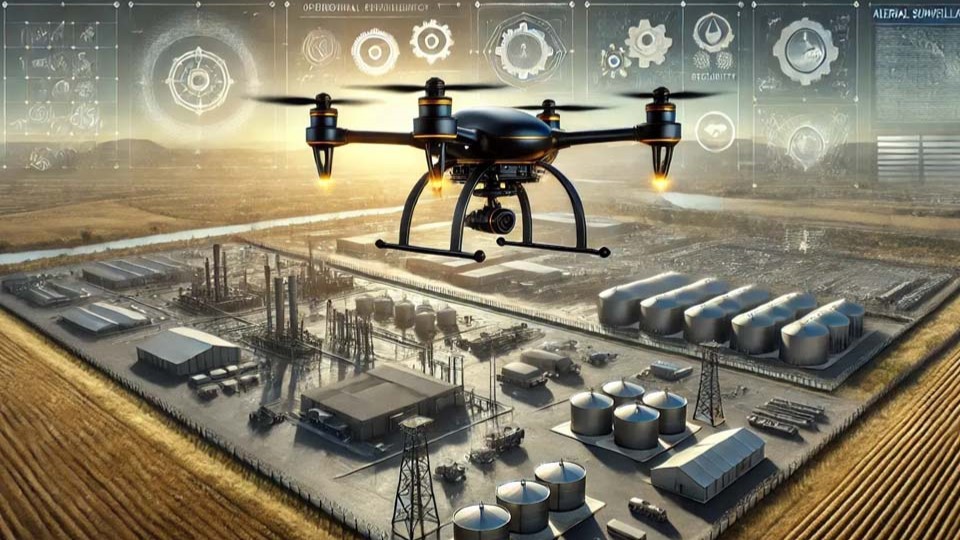
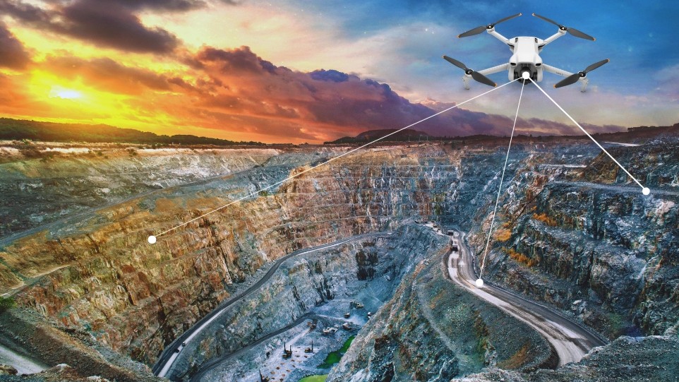
Unmanned aerial vehicles have changed how field surveys are run. Fitted with high-resolution cameras, LiDAR and thermal sensors, drones cover vast areas in a fraction of the time — capturing precise maps and 3D terrain while keeping surveyors out of hazardous, hard-to-reach places.
Artificial Intelligence & Machine Learning
AI and machine learning automate the heavy lifting of survey data. Models classify objects, spot patterns and interpret imagery with minimal human input, predict environmental or infrastructure changes from historical data, and cut human error — turning raw captures into reliable insight, fast.
GIS & Remote Sensing
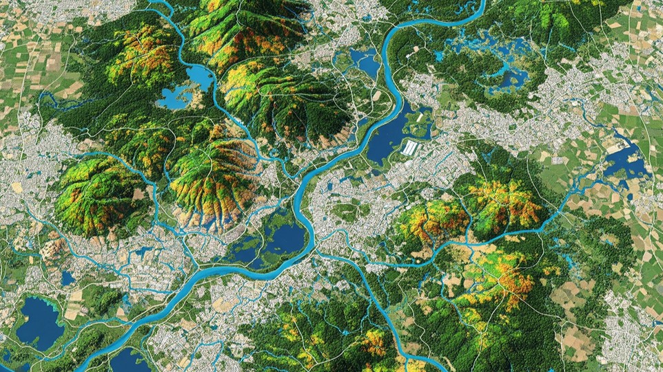
GIS and remote sensing give surveys true geospatial accuracy. Teams create, analyse and visualise spatial data, access it from anywhere via the cloud, and layer satellite, drone and sensor sources into one comprehensive view — ideal for tracking deforestation, water levels and urban expansion over time.
Internet of Things & Smart Sensors
IoT sensors bring continuous, real-time data to the field. They monitor soil conditions, air quality and structural integrity around the clock, remove manual recording, and stream data wirelessly to the cloud — where it combines with GIS and AI models for deeper insight and better decisions.
Mobile Data Collection Apps
Paper forms have given way to mobile apps built for the field. Surveyors input and edit data on phones or tablets, collect offline and sync later, enrich records with GPS coordinates, photos and audio, and share instantly with remote teams for collaboration and analysis.
Blockchain for Data Security & Transparency
As data integrity becomes a priority, blockchain keeps survey records secure and tamper-proof. Once recorded, data cannot be altered; stakeholders can verify sources without the risk of manipulation; and smart contracts can automate agreements such as land surveys and environmental-compliance tracking.
From drones capturing aerial imagery to AI-driven analytics, GIS, IoT and blockchain — modern field surveys are faster, more accurate and far more reliable.
Conclusion
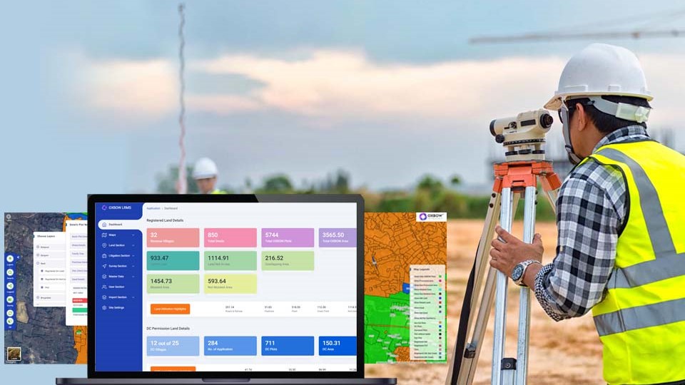
The integration of advanced technologies has revolutionised how organisations collect and analyse field data. As technology keeps evolving, surveys will only get more accurate, accessible and reliable. At Oxbow Intellect, we bring these capabilities together — AI-driven analytics, IoT-powered monitoring, drone and LiDAR mapping for high-precision terrain modeling, and cloud-based GIS for seamless data integration and visualisation — so field data becomes decisions you can trust.
Modernising how your teams survey the field?
OxLand unifies drone and LiDAR mapping, AI analytics, IoT sensor feeds and cloud GIS into one platform — so every survey lands as clean, verifiable, decision-ready data. Tell us about your workflow and we'll show you how.
Book a walkthrough on your workflow