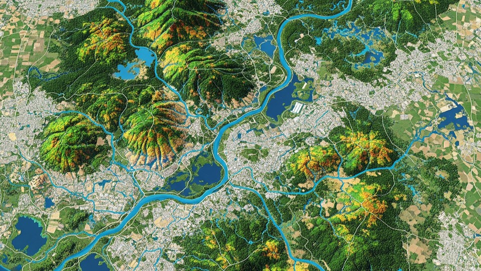
Watershed conditions directly impact industrial operations — particularly in sectors reliant on water usage, discharge or compliance. Traditional monitoring methods are often fragmented and reactive. GIS-based watershed monitoring offers a comprehensive, real-time view, redefining how industries manage environmental exposure and operational risk.
The application of GIS to watershed monitoring delivers direct, measurable advantages across multiple industrial functions. Below are the core areas where industries gain from leveraging GIS capabilities.
Enhanced Environmental Compliance & Reporting
Maintaining regulatory compliance is a critical requirement across industries. GIS streamlines how environmental data is collected, managed and reported — so compliance becomes less reactive and more integrated into daily operations.
Risk Mitigation & Disaster Preparedness
Industries face growing exposure to watershed risks such as flooding and sediment runoff. GIS supports early detection and scenario modelling, enabling better infrastructure planning and protecting critical assets from environmental disruption.
Resource Management & Sustainability Planning
Effective water planning depends on understanding dynamic watershed behaviour. GIS tools align industrial activity with real resource availability — feeding directly into long-term sustainability strategy and regulatory alignment.
Operational Efficiency & Cost Savings
GIS reduces the need for manual data collection and repeated field visits. By embedding spatial monitoring into routine operations, industries cut cost and speed up decision-making.
Site Selection & Infrastructure Planning
Locational intelligence is critical when planning new facilities or expansions. GIS delivers detailed environmental input early in project design, improving long-term resilience and reducing downstream permitting challenges.
Stakeholder Communication & Transparency
Transparent reporting is vital for ESG performance and community relations. GIS makes technical data accessible and visual — building trust and reinforcing environmental accountability.
Integration with Industrial Systems
GIS can plug directly into industrial control, compliance and asset-management systems — creating a unified ecosystem where watershed data informs operations in real time and sharpens both responsiveness and strategy.
From static reporting to dynamic oversight — GIS gives industries real control over compliance, risk and resource use.
Conclusion
GIS-based watershed monitoring elevates industrial environmental management from static reporting to dynamic oversight. With the right spatial tools, industries gain control over compliance, risk and resource use. For companies prioritising resilience and sustainability, integrating these tools is no longer optional — it is a competitive and operational imperative.
Want watershed and land risk on one live map?
Tell us about your sites and water footprint — we'll show you how OxLand brings GIS layers, monitoring and compliance reporting together in a single, real-time view.
Talk to our GIS team