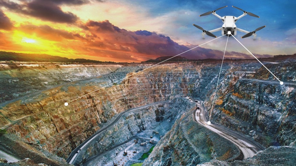
Open-cast mining digs away soil and rock to reach ore close to the surface. The pits are wide, the benches are high, and the ground keeps changing as trucks and diggers move material every hour. Inspecting these areas manually is slow and risky. Drones fly fast, see more and help keep people out of harm's way — mapping the site, tracking ground movement, guiding blasts, inspecting assets and helping mines meet environmental rules.
Enhanced Site Surveying & Mapping
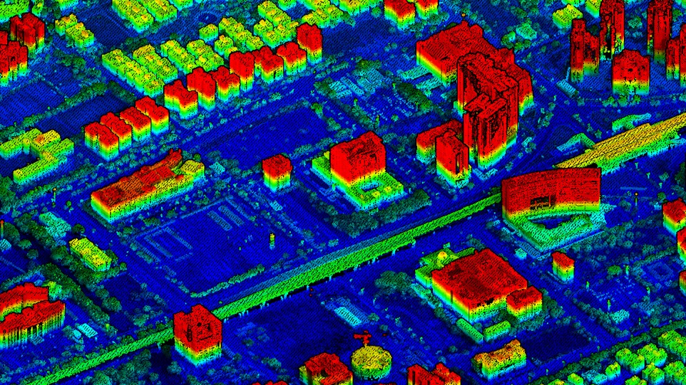
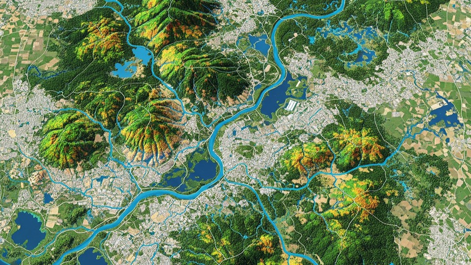
Every haul road, sump and dump starts with a map — and an old map means failed plans and lost money. Drone flights gather fresh imagery in minutes, so engineers react to today's terrain, not last month's. Photogrammetry and LiDAR turn overlapping photos into DEM, DTM and DSM models at near-centimetre detail, trimming survey waits from weeks to hours.
Safety & Geotechnical Monitoring
Highwalls crack, slopes slip and blast zones must stay clear of people and machines. Drone-based surveillance lets geotechs scan faces, berms and haul roads from a safe distance. Flight-to-flight comparison highlights even tiny shifts — a bulging bench, a settling dump, an eroding drain — so crews can act long before a major slide.
Optimized Blast Planning & Analysis
Blasting works only when drill holes match the real surface. A quick UAV survey before drilling captures true burdens and elevations, so planners place holes with confidence, limit flyrock and keep vibration legal. Right after the shot, drones measure fragment size, heave and throw — feeding a tuning loop that makes each blast safer, cleaner and cheaper.
Infrastructure & Asset Inspections
Conveyors, crushers, stackers, berms and long pipelines are hard and expensive to inspect by hand. Planned drone missions deliver crisp visuals and tagged defects without scaffolds, manlifts or shutdowns. Each flight's imagery builds a living record, so maintenance teams see exactly when rust started or a belt drifted — turning repairs proactive.
Regulatory Compliance & Environmental Monitoring
Modern mines must prove they protect land and water. Regulators want evidence of rehabilitation progress, erosion control, dust suppression and vegetation regrowth. Drones capture consistent, georeferenced data that makes honest, transparent reporting easy — helping communities and investors trust that promises are real and on schedule.
Drones now touch almost every step of open-cast mining — boosting efficiency, sharpening planning and reducing exposure to danger.
Conclusion
Drones now touch almost every step in open-cast mining. They boost efficiency, sharpen planning, reduce exposure to danger, support compliance and even lift sustainability efforts — far beyond simple stockpile counts. Paired with a platform that stores and analyses every flight, they turn raw imagery into decisions the whole mine can act on.
Running drone surveys across your mine?
OxLand ingests UAV imagery, LiDAR and survey data into one land-and-asset platform — mapping, monitoring, volumes and compliance in a single place. Tell us about your site and we'll show you how.
Book a walkthrough on your site