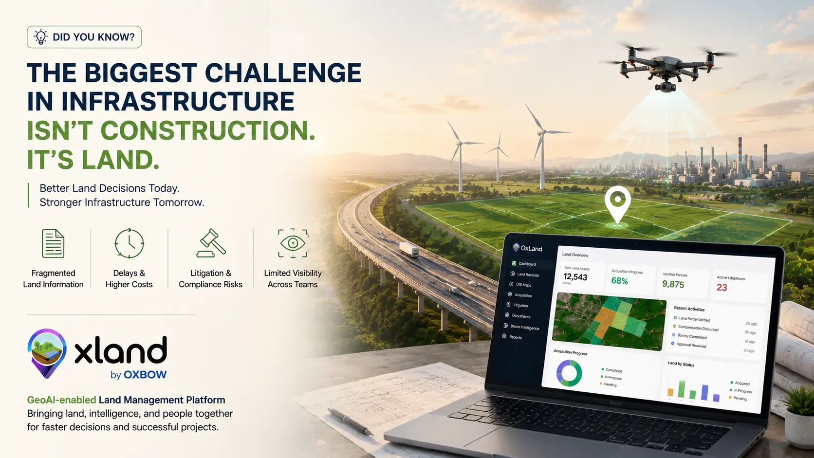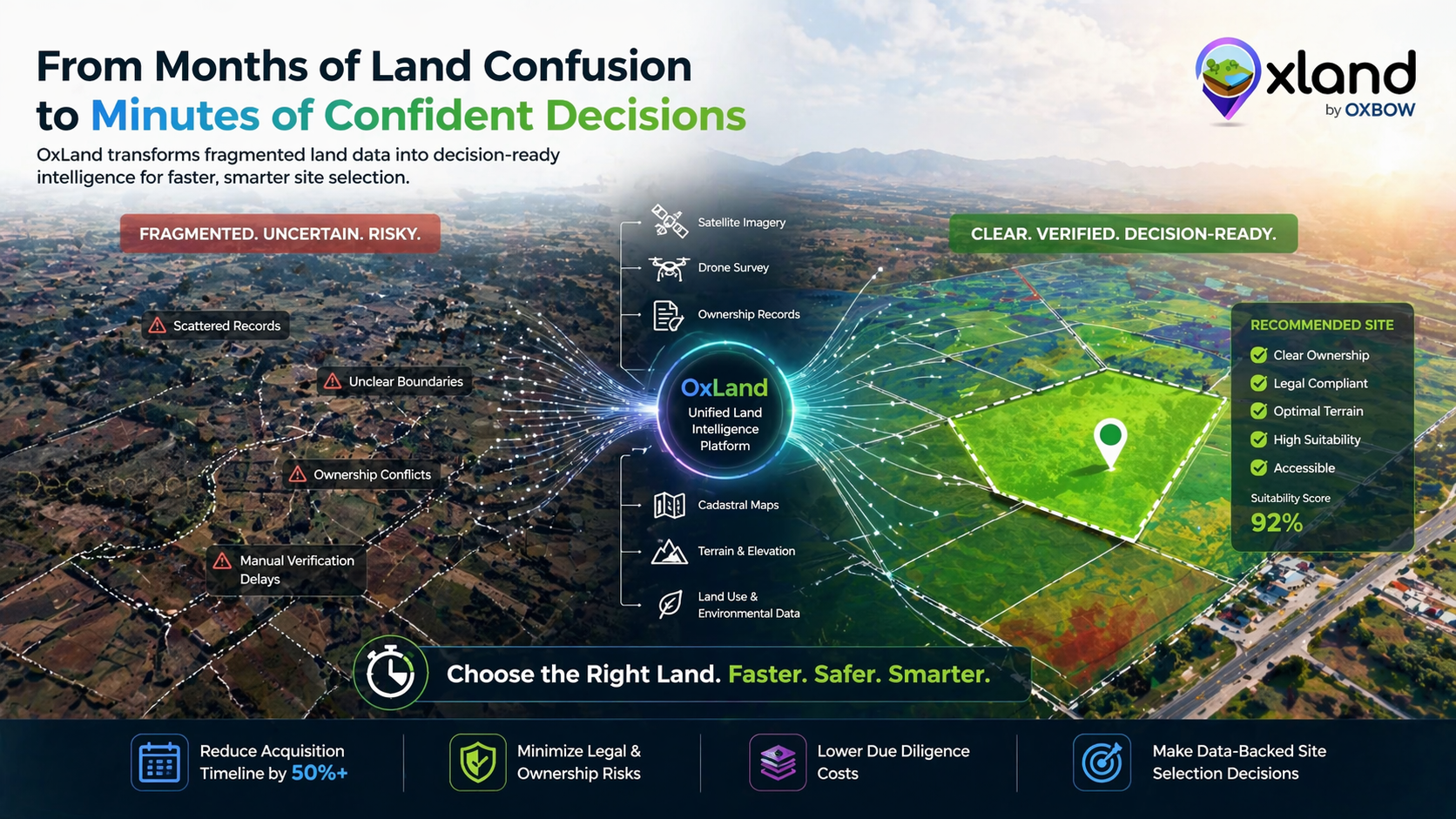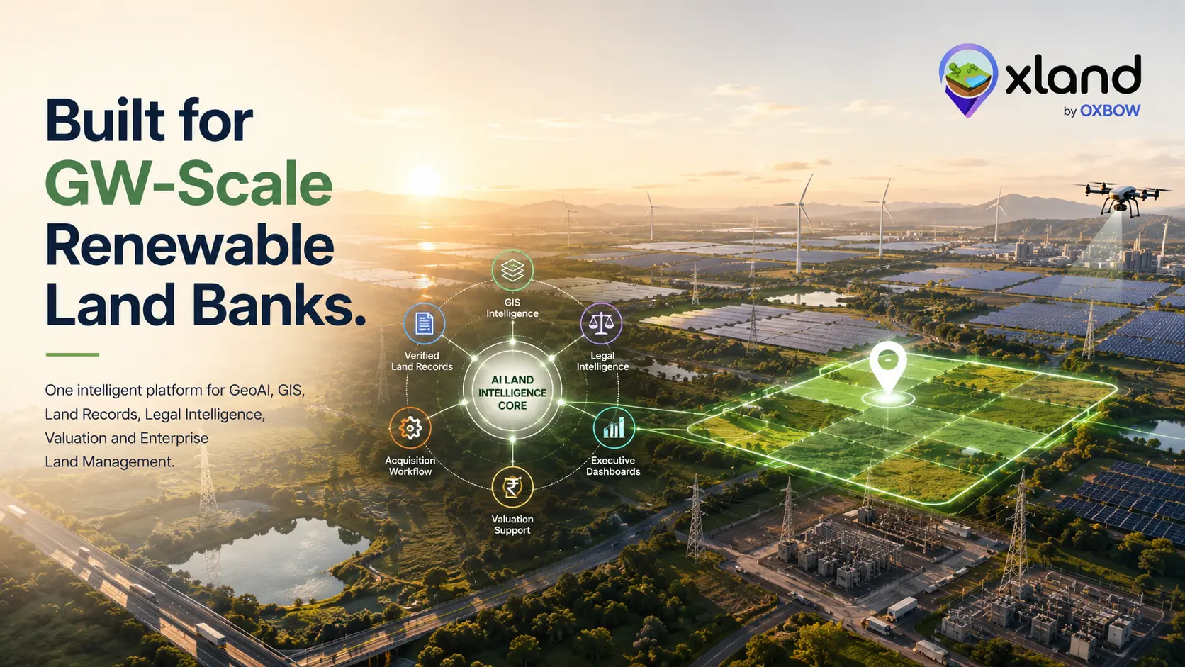
Managing land for GW-scale renewable energy projects requires more than maintaining a list of parcels. It demands a unified platform that combines geospatial intelligence, verified land records, legal intelligence, land-use insights, valuation support, and workflow management. OxLand is designed to bring these capabilities together within a centralized enterprise platform.
Features and capabilities may be configured based on project scope, client requirements, and applicable laws and data availability.
GeoAI-Powered Land Intelligence
OxLand leverages geospatial technologies together with AI-assisted analytics to support informed decision-making. Depending on available datasets and project configuration, organizations can monitor land changes, analyze parcel boundaries, visualize GIS layers, and review satellite or drone-derived insights.
Verified Land Records Management
OxLand provides a centralized repository for land-related documents. Organizations can securely store, index, search, and retrieve records while maintaining document traceability. Availability of records depends on the relevant government authority and client-provided data.
Legal & Court Case Management
Where legally permissible and data is available, OxLand can assist organizations in organizing and monitoring litigation-related information associated with land parcels.
OxLand is an information-management tool and does not provide legal advice.
Land Use Pattern Analysis
OxLand integrates GIS and remote-sensing datasets to help visualize existing land-use patterns and support planning decisions.
Final suitability assessments should always consider applicable regulations and field verification.
Intelligent Land Valuation Support
OxLand provides analytical tools to support land valuation by organizing available datasets and indicators.
It does not determine or guarantee market value or statutory valuation.
Integrated Land Acquisition Workflow
OxLand digitizes acquisition workflows, providing visibility and auditability across the entire project lifecycle.
Executive Dashboard & Decision Intelligence
Role-based dashboards provide operational visibility to support project monitoring and decision-making.
One configurable land bank — GeoAI, verified records, litigation, valuation and acquisition, aligned to your project and your data.
Planning a GW-scale renewable rollout?
Share your project footprint and data sources — we'll show you how OxLand configures a land bank around it: GeoAI layers, records, litigation, valuation and the full acquisition workflow.
Book a walkthrough on your project