Many people think geospatial digital twins are just fancy 3D maps — but they are much more than that. They combine real-time data, sensors and location intelligence to help industries see what is happening, plan better and decide faster. By reflecting real-world environments through current location data, predictions and sensor feeds, these systems let decision-makers understand, model and operate across mining, utilities, agriculture, manufacturing, city planning and the public sector.
A geospatial digital twin is far more than a static map — it is a dynamic decision-making engine. Here is how that engine is reshaping industry after industry, and what organizations should keep in mind as they adopt it.
Proactive Surveillance & Asset Monitoring
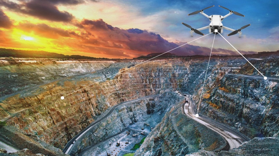
At the heart of every plant — a steel mill, a cement works, a coal mine — is the need to keep operations running safely and smoothly. Digital twins elevate surveillance from occasional drone flyovers to continuous oversight, so power and steel teams can watch furnace performance or powerline sag around the clock and cut unplanned downtime.
Intelligent Plant & Logistics Monitoring
Logistics often make or break operational efficiency. A geospatial digital twin turns mundane yard checks into laser-focused coordination — using location data from equipment to track productivity and material volumes from anywhere. When supplies run low, the twin can trigger the next shipment so the operation never stalls.
Comprehensive Land & Asset Management
Digital twins unify cadastral data, parcel maps and historical land records into one interactive 3D interface. Surveyors capture exact boundaries inside the twin, government departments spot unlawful use or occupation, and a timestamped 3D view can prove exactly when a change happened — making disputes clearer and harder to game.
Digital Enablement & Data Digitization
Twins thrive on digitized documents — scanned deeds, environmental permits and technical manuals, all linked spatially to real-world locations. Legal teams retrieve any document tied to a property in seconds, soil reports become map overlays, and inspectors review every relevant record on the 3D map when they visit site.
3D Geospatial Analysis & Parcel Mapping
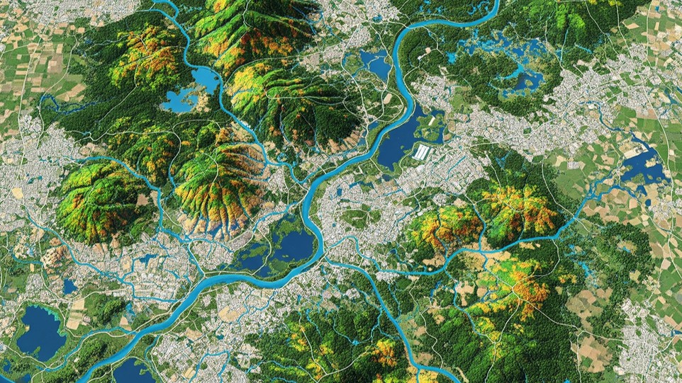
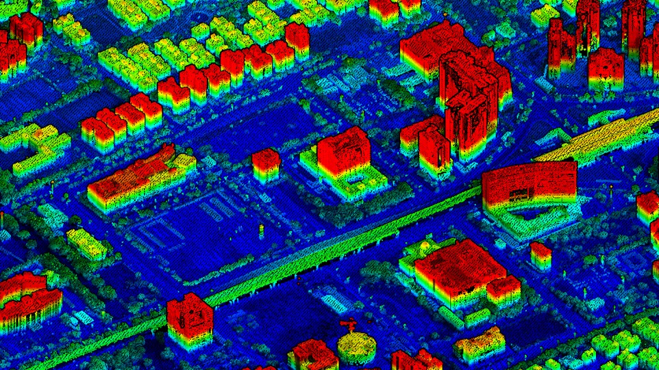
By merging LiDAR-derived elevation models, multispectral UAV imagery and topographical surveys into one cohesive twin, teams unlock advanced analysis. Operators observe 3D water movement and plant health, water authorities simulate storage and predict flood flows, and developers model subsurface contamination to plan excavation more safely.
Crop Classification & Environmental Monitoring
Integrating spectral indices such as NDVI and NBR, a twin can tell corn from soy, pine from cedar, concrete from sand. Smart algorithms review seasonal drone imagery to catch plant stress or pests early, while forest departments use laser scanning to verify replanting and estimate timber volume for sustainable, correctly-priced harvests.
Excavation Monitoring & Logistic Automation
Fed by live LiDAR, haul-truck GPS and blast surveys, the twin keeps everyone informed. The elevation model updates as digging starts, specialists catch over- or under-excavation early, and trucks are steered away from congestion or unsafe slopes. When stockpiles drop below threshold, the system queues the next blast and organizes haulage to prevent delays.
From mines to cities, farms to factories — the digital twin turns real-time reality into decisions you can act on today.
Conclusion
Geospatial digital twins are already here, and they are making a noticeable difference — making it easier to handle and control everything from mines to cities, farms to factories. Organizations that adopt them with clear aims, effective leadership and open standards will drive the next phase of digital transformation. For anyone responsible for land, infrastructure or critical services, it is time to start putting digital twins to work.
Curious what a digital twin of your site would reveal?
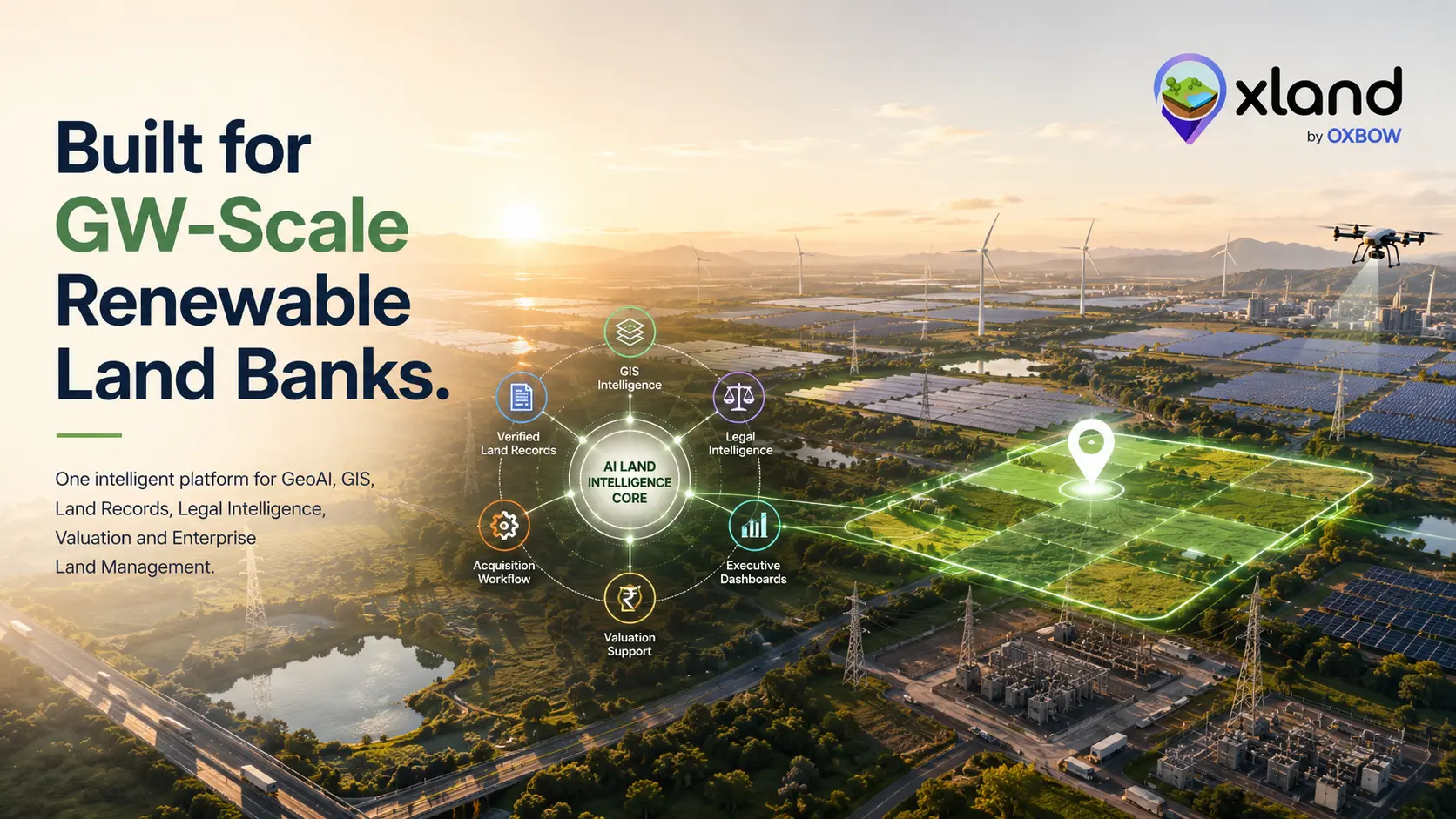
Share your footprint and data sources — we'll show you how OxLand layers GeoAI, records, monitoring and 3D analysis into one live operating picture of your land and assets.
Book a walkthrough on your project