Solar projects are getting bigger, and so are the challenges. Fast-changing markets, tougher competition and a constant need for efficiency push solar companies to rethink old workflows. That's where GIS-optimised solar site analysis and drone technology come in — helping companies make smarter, quicker decisions from the very start of a project all the way to its final stages. If you want to build and run a solar park profitably, these are the tools you cannot afford to overlook.
Finding the Best Sites Faster and More Accurately
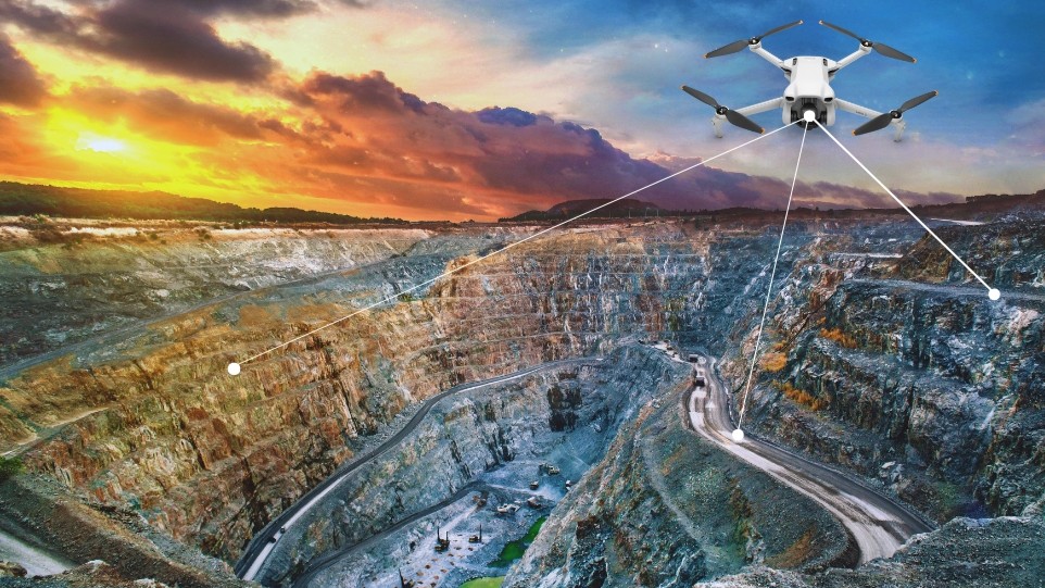
Choosing land for a solar farm is no longer a guessing game. GIS mapping overlays sunlight availability, land cover, zoning rules and grid proximity in a single view, so unsuitable sites are filtered out early. Drone surveys go further, capturing detailed topography and contours before a rupee is spent on the ground.
Creating Precise Designs That Boost Energy Production
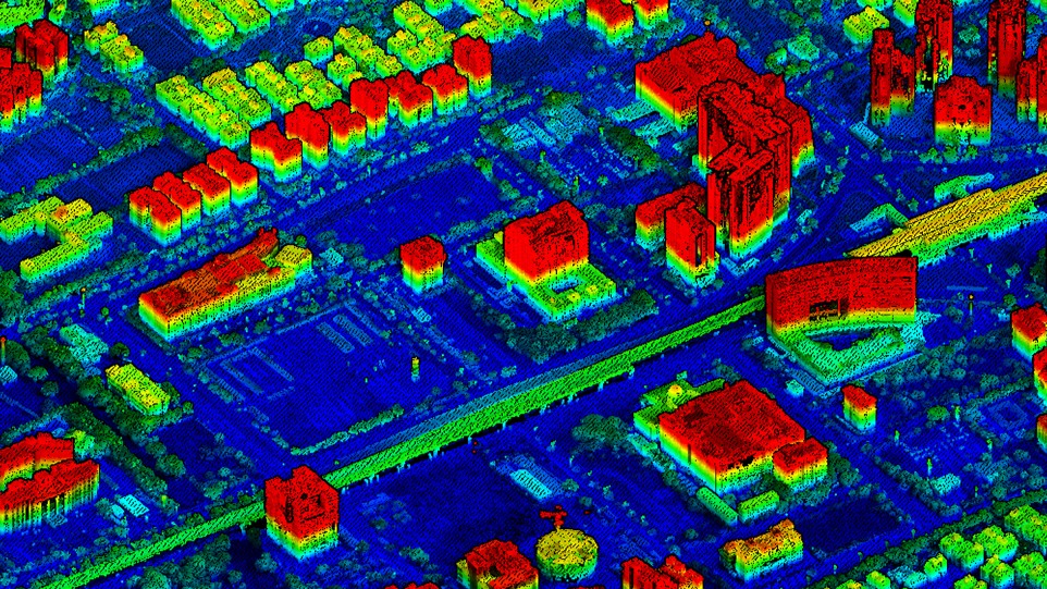
A strong design keeps a project profitable for decades. Drone aerial surveys deliver centimetre-level detail that powers digital terrain modeling and GIS visualisation, helping engineers lay panels to catch the most sun. Small changes in tilt or spacing — spotted in the data — can lift yields significantly, and detailed maps speed up permit approvals.
Reducing Construction Costs and Keeping Projects on Schedule
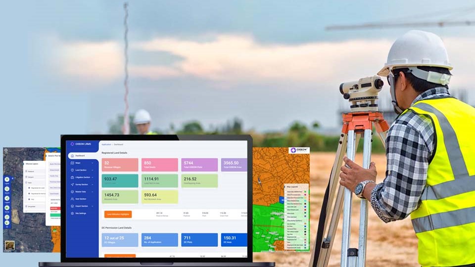
Large solar fields are hard to keep on schedule. Drone mapping and 3D terrain models replace slow monthly site checks with near real-time progress, so earthwork problems are caught and fixed early. GIS-based dashboards give every team the same picture — less confusion, better coordination and fewer costly surprises.
Improving Maintenance Efficiency and Maximising Asset Performance
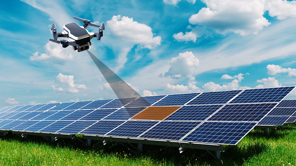
Once panels are live, keeping them producing is what really matters. Thermal-camera drones scan thousands of modules quickly, flagging hotspots, faults and dust. GIS-powered asset dashboards connect every panel, inverter and sensor, so crews know exactly where to go and what to fix — faster repairs and less lost production.
Managing Multiple Solar Sites Effortlessly
Managing one site is hard; managing a hundred needs enterprise GIS. A centralised platform brings data from every project together, making performance and maintenance easy to track across the whole portfolio. Standardised, instant reports give auditors and investors the transparency they expect, and onboarding new sites is simple.
Building Long-Term Competitive Advantage
Leaders get ahead by spotting risk early and proving compliance. GIS environmental monitoring tracks wildlife, soil and water impacts — key for meeting investor and community expectations around sustainability. The real payoff is agility: acting fast, adapting to change and proving value at every stage of the project.
From finding land to keeping panels humming, GIS and drone technology make solar projects more profitable, less risky and far easier to scale.
Conclusion
Leaders who invest in advanced GIS solutions and UAV technology today gain a clear edge. The tools are tried and tested, and the reward is tangible — from faster site selection to higher yields and smoother portfolio operations. For anyone serious about building a competitive solar business, digital innovation isn't just a good idea; it's the key to long-term success.
Building or operating a solar portfolio?
OxLand brings GIS site intelligence, drone and UAV surveys, terrain models and asset dashboards into a single platform — site selection, design, construction tracking and O&M in one place. Tell us about your project and we'll show you how.
Book a walkthrough on your project