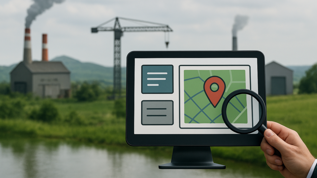
For any industry, land is one of the most valuable assets — the foundation for setting up plants, expanding operations and planning future growth. But managing land is rarely easy. In reality it involves scattered records, time-consuming surveys, unclear ownership and the constant risk of disputes or encroachment, all of which slow projects and increase costs.
OxLand, developed by Oxbow Intellect Pvt. Ltd., is designed to solve these challenges — bringing every aspect of land management into one digital platform that is faster, more transparent and much easier to handle.
What Is OxLand?
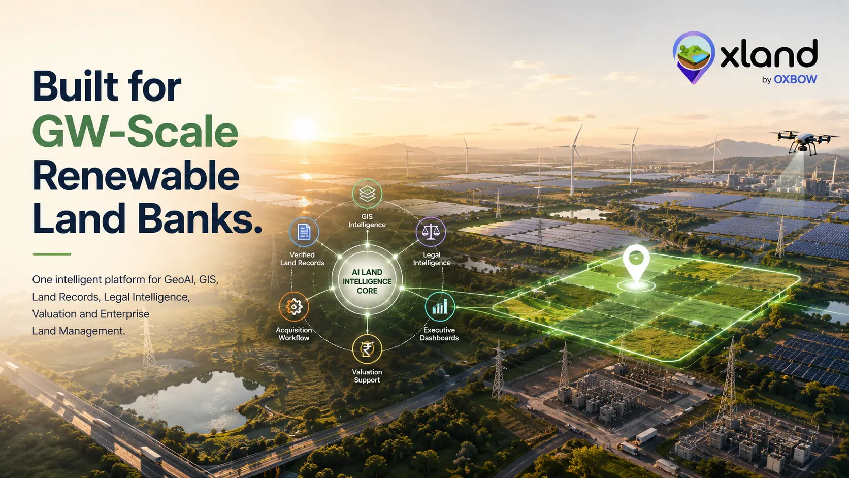
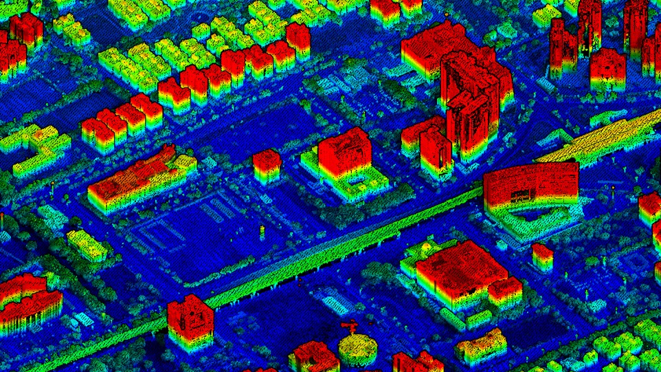
OxLand is a complete land management system built for industries, infrastructure projects and large-scale developments. It combines GIS mapping, drone surveys, AI analysis and digital record keeping in one place — replacing paper files and disconnected tools with a single dashboard for the entire land lifecycle, from identifying and acquiring land to monitoring, protecting and using it efficiently.
Why Industries Need It
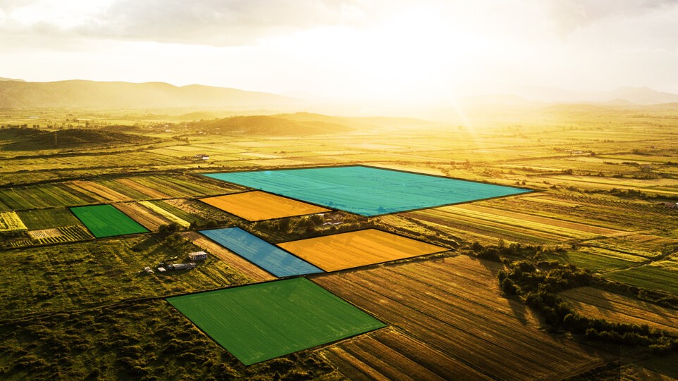
Large industrial projects often cover hundreds of acres or even thousands of hectares. Tracking boundaries, ownership, land use and compliance is a big job, and traditional methods are slow, depend on multiple teams and leave room for error. OxLand speeds up identification, supports acquisition automation and prevents disputes through verified boundaries.
Key Features
OxLand pulls the tools land teams normally juggle separately into one connected platform — mapping, surveying, records, documents, monitoring and planning, all working from the same source of truth.
Benefits for Industries
The payoff is practical: projects start sooner, budgets hold, inspections are painless and decisions rest on reliable data — while land stays protected against loss or damage.
Who Can Use OxLand
OxLand works across land-intensive sectors — wherever large land banks, lease boundaries, plots or acquisition corridors need to stay organized and defensible.
Land should be an asset you can trust and plan around — not a source of stress.
Making Land Management Simple
The goal of OxLand is not just to digitize records, but to make land management clear, quick and reliable. Whether it's identifying a new plot for a plant, checking ownership details, protecting land from encroachment or ensuring compliance, everything can be done from one place — no more running between offices, digging through old files or relying on outdated maps. With OxLand, industries can focus on growth while the platform takes care of the land side.
Interested in knowing more?
Reach out and see how OxLand can make land management simpler for your industry — from identification and acquisition to monitoring and compliance, all in one platform.
Talk to the OxLand team