Land is the first requirement for any industry. A factory, a mine, a steel plant, even a simple warehouse — everything starts with land. The irony is that while it looks straightforward on paper, acquiring and managing land is often the hardest part of setting up a project.
Anyone who has tried it knows the pain: old records that don't match, families fighting over ownership, approvals moving at a snail's pace, and middlemen hiking prices the moment they hear an industry is interested. Even after you get the land, you're never fully at peace — encroachments, disputes and legal notices keep coming back. This is exactly why industries now look at land acquisition monitoring systems.
The Ground Reality
Take a typical case: an industrial project in eastern India plans to acquire 500 acres. The records sit in three different offices — one has maps, another has khata numbers, the third has updated transfers. By the time it's all stitched together, months are gone. Then word spreads, prices spike overnight, locals file objections, and a three-month process becomes a three-year headache. This is not rare. It is the norm.
Why Monitoring Is Key
Buying land is only half the battle — keeping track of it is just as important. Without monitoring, companies risk losing land to encroachment, getting stuck in unexpected disputes, overpaying, and missing compliance deadlines. A monitoring system gives one place to see everything: ownership history, approvals, maps, usage and payments — no running from office to office.
How Technology Is Helping
Land was once managed with files, site visits and local knowledge. Today, industries have GIS maps that show boundaries clearly, drone surveys for accurate data, digital records that can't be lost or tampered with, and alerts and dashboards that keep the full picture in view. This isn't about replacing people — it's about making their job simpler and faster.
OxLand — A Working Example
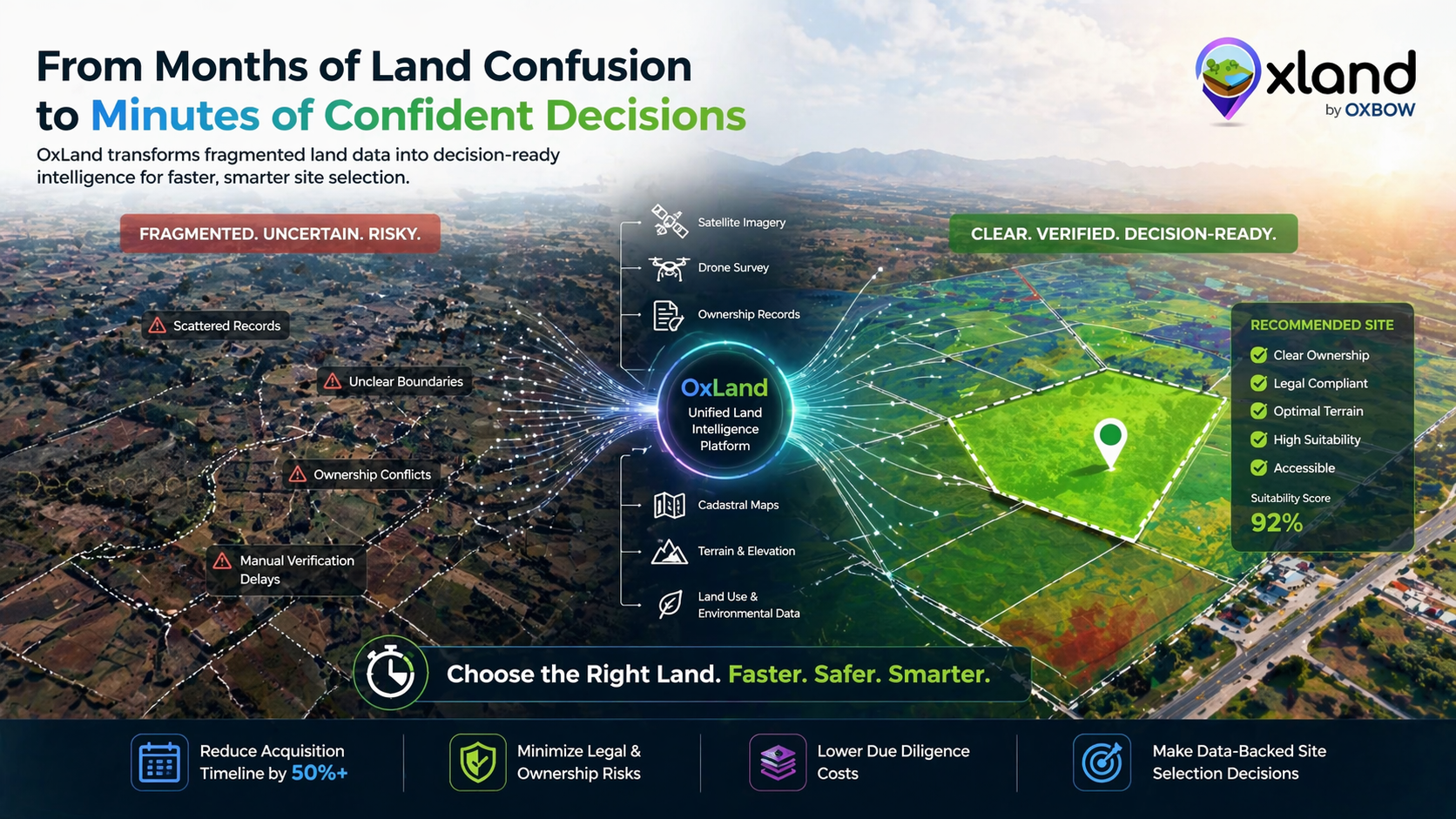
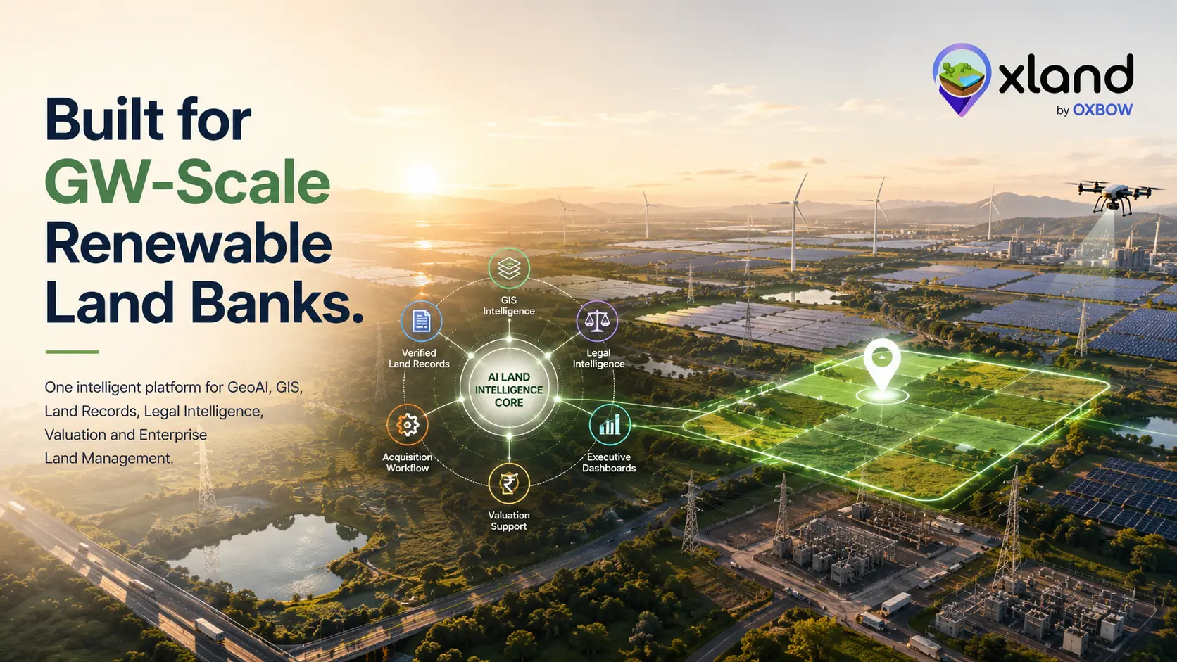
One system built for exactly this is OxLand, developed by Oxbow Intellect. Unlike scattered manual methods, OxLand puts everything on one platform — and for industries investing hundreds of crores, that can mean saving years of delay and huge amounts of money by taking the guesswork out of acquisition.
Why India Needs It More
India has countless examples of stalled power plants, steel projects and highways delayed or scrapped over land disputes — a significant share of pending court cases trace back to land. As new industrial corridors and smart cities rise, demand for land will only grow. A comprehensive system like OxLand fits the Digital India vision and builds community trust, because everything is recorded and transparent.
For industries, land is not just dirt and boundaries — it is the foundation of growth. Every delay in land is a delay in growth.
Closing Thoughts
Without a clear way to acquire and monitor land, companies lose money, time and investor confidence. A land acquisition monitoring system brings order to a messy process — helping industries stay compliant, avoid disputes and plan with clarity. Tools like OxLand show the solution already exists. The only question is how quickly industries will adopt it.
Acquiring or monitoring land for a project?
Tell us about your parcels and corridors — we'll show you how OxLand keeps ownership, approvals, maps, compliance and encroachment on one live dashboard, so nothing slips.
Book a walkthrough